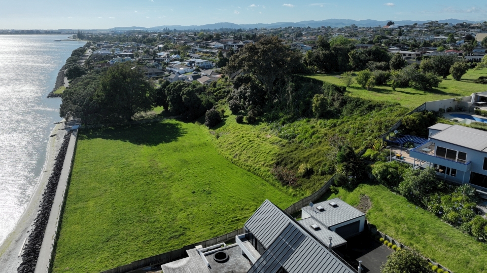
On this field trip we will be visiting Ōtūmoetai Pā in Tauranga. Image: LEARNZ.
A bustling centre of life in Tauranga
Ōtūmoetai Pā was one of the most important and heavily populated sites in Tauranga. It served as the main stronghold for the Tauranga Māori and was home to Ngāi Te Rangi and Ngāti Ranginui, two of the iwi in the area. By 1827, the pā housed around 2,000 people, including warriors, women, children, and elders. It was a vibrant community where people lived, worked, and thrived. Visitors to the area during its peak described the waterways teeming with life, with as many as a thousand canoes seen on the rivers between the Wairoa River and Te Papa.
What does Ōtūmoetai mean?
The name Ōtūmoetai translates to “the tide standing still as if asleep.” It reflects the peaceful yet strategic nature of its location. The pā was situated on a peninsula surrounded by the sea, providing a stunning yet practical environment for the community.
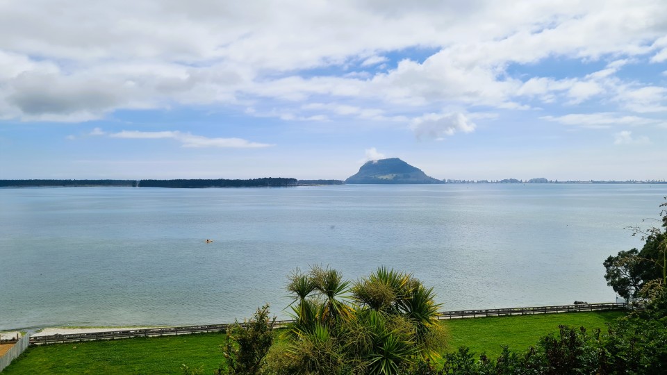
The name Ōtūmoetai means “the tide standing still as if asleep.” Image: LEARNZ.
Strong defences and survival
Ōtūmoetai Pā was well-designed for defence. Like many pā, it was located on a naturally defensible site, with strong earthworks such as ditches and banks. Despite fierce attacks from northern tribes armed with muskets during the 1820s and 1830s, the pā’s fortifications were so effective that it was never captured. It was also modified over time to adapt to changes in warfare, including the introduction of muskets.
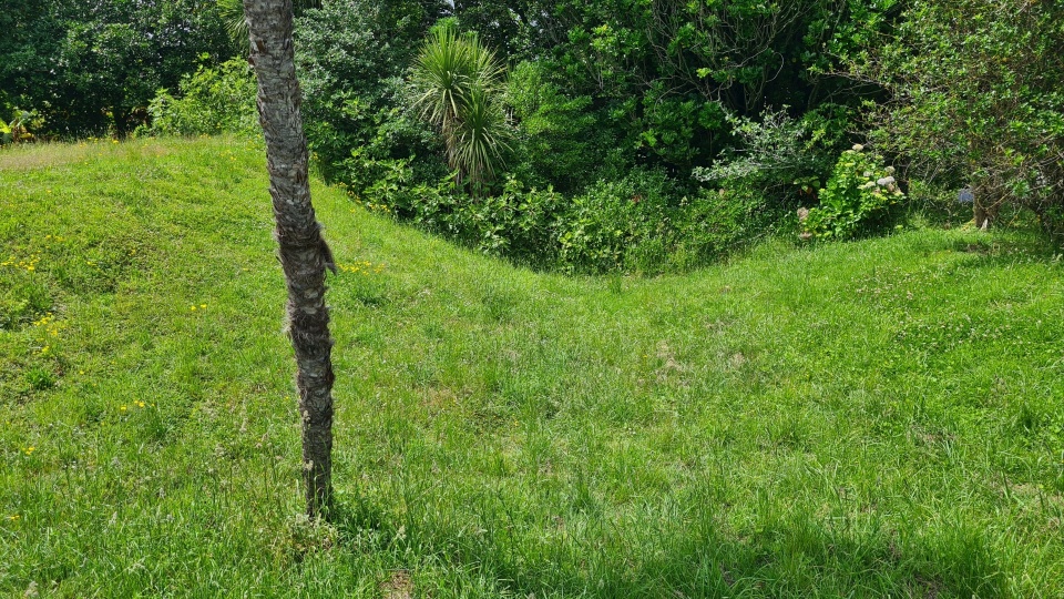
Like many pā, Ōtūmoetai was located on a naturally defensible site, with strong earthworks such as ditches and banks. Image: LEARNZ.
Why the site was ideal
Ōtūmoetai Pā’s location was perfect for a settlement. The tidal estuary, large bay, and open ocean provided plenty of food, including fish and shellfish. The view enabled inhabitants to easily see new arrivals. Mauao (Mount Maunganui) acted as a natural landmark and was essential for navigation. Fishing spots were marked using the mountain’s slopes and a towering tītoki tree that grew at the back of the pā. Remarkably, this tree is still standing today, over 300 years old.
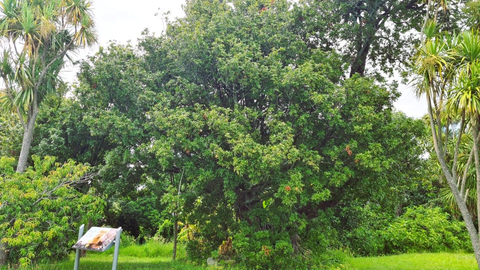
The tītoki tree still standing today on Ōtūmoetai Pā, Image: LEARNZ.
A community at its heart
Ōtūmoetai Pā wasn’t just a defensive stronghold – it was a hub of daily life. The surrounding land was fertile and used for farming, and the nearby pipi beds provided an abundance of shellfish to collect and eat. People fished using flax nets and bone hooks. Offshore canoes travelled to nearby islands to gather obsidian for tools, tītī (mutton birds) for food, and red ochre for body painting.
The pā also had a rich cultural life, serving as a place of learning, craftwork, and connection. Within the pā, the tihi (a flat platform) housed important leaders, and gardening areas and kāinga (homes) were spread across the peninsula. It was a place where families thrived, and traditions were passed down.
Historic moments and resistance
Ōtūmoetai Pā is also remembered as a place of political significance. In 1840, local rangatira rejected Te Tiriti o Waitangi at this site. This decision marked a pivotal moment in the history of Māori in Tauranga, reflecting their determination to protect their land and independence.
Forced departure and a legacy
After the New Zealand Wars of 1864, the government confiscated the land on which Ōtūmoetai Pā stood. Its people were forced to leave their ancestral home, marking the end of its era as a thriving Māori settlement. The last known chief of the pā was Hōri Tūpaea of Ngāi Te Rangi and Ngāti Ranginui descent.
Over time, much of the land became farmland, with parts sold off until 2004, when the Tauranga City Council purchased the eastern portion to preserve its history as a public reserve.
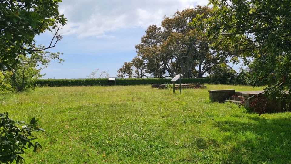
After the New Zealand Wars of 1864, the government confiscated the land on which Ōtūmoetai Pā stood. Over time, much of the land became farmland, with parts sold off. Image: LEARNZ.
Exploring Ōtūmoetai Pā today
Now part of the Ōtūmoetai Pā Historic Reserve, this site offers a glimpse into the rich history of Māori who lived there. Its location on the peninsula includes nearby suburbs like Matua and Bellevue, where the legacy of the pā is still felt.
Ōtūmoetai Pā represents a time when the land and sea provided everything a community needed and showcases the resilience, strength, and culture of the Māori people who called it home. Visiting the site today is a chance to connect with New Zealand’s history and appreciate the enduring narratives of its first people.
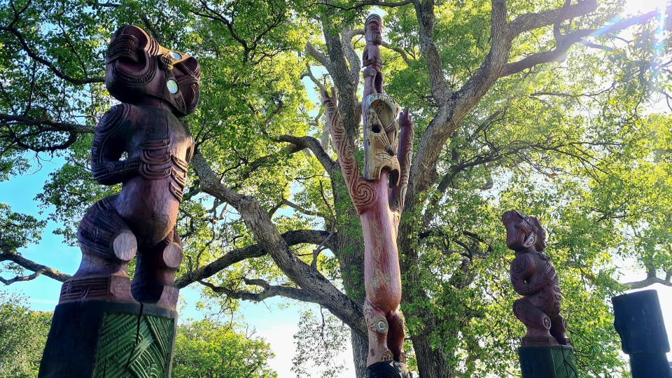
What remains of Ōtūmoetai Pā is now a public reserve. Images and information panels located around the site offer a glimpse into the rich history of the people who lived there. Image: LEARNZ.
Māori kupu | key words
kāinga | homes or villages
rangatira | leaders or chiefs
tihi | flat platform used for leadership or ceremonial purposes
tītī | mutton bird
Mauao | also known as Maunganui (Tākitimu name), he who was caught by the dawn
Ngāi Te Rangi | tribe that descends from Te Rangihouhiri of the waka Mataatua
Mātaatua | ancestral voyaging waka captained by Toroa
Ngāti Ranginui | tribe that descends from the eponymous ancestor Ranginui, descendant of the waka Tākitimu
Tākitimu | ancestral voyaging waka captained by Tamatea Arikinui
nohonga tūpuna | ancestral dwelling place
Ngāi Tamarāwaho | mana whenua of today


