

About LEARNZ
For over two decades, LEARNZ has evolved into a comprehensive virtual field trip programme for the education sector.
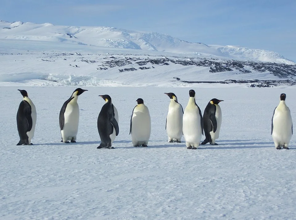
LEARNZ began life in 1995 as an Antarctic-focused education programme, harnessing the great stories that came from New Zealand Antarctic science research. LEARNZ at that time was an acronym for Linking Education and Antarctic Research in New Zealand. During 1995–1998, LEARNZ developed the concept of the virtual field trip – taking students on learning adventures to the Dry Valleys, the Antarctic coast, and the Ross Sea in the depths of an Antarctic winter onboard a research icebreaker.
The focal person in each of these expeditions was the LEARNZ Teacher: meeting researchers in their workplace, interpreting and meeting objectives in science, social studies, and technology curricula.
Snapshots from our story so far
-
![A smiling woman with reddish-brown hair wearing a yellow jacket outdoors.]()
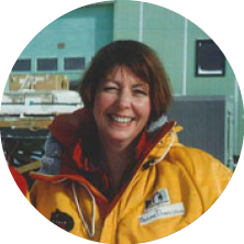
1995 - Antarctica
The beginning
Antarctica LEARNZ began life in 1995 as an Antarctic-focused education programme, harnessing the great stories that came from New Zealand Antarctic science research.
-
![A desert landscape with a pyramid-shaped tent and stars in the night sky.]()
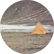
1996 - Antarctic Science
Dry Valleys
During the period 1995 to 1998, LEARNZ developed the concept of the virtual field trip; students participating in their own learning adventure.
-
![]()
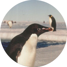
1997 - Penguin biology
The Coast
LEARNZ expanded its virtual field trips to include penguin reproductive biology at Cape Royds and drilling at Cape Roberts.
-
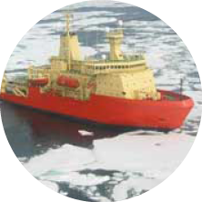
![A large icebreaker ship with a red hull and yellow superstructure navigating through icy waters.]()
1998 - The Ross Sea
Antarctica in winter
LEARNZ explored the Ross Sea in the depths of an Antarctic winter onboard a research icebreaker.
-
![A man smiling with a bird perched on his shoulder.]()
1999 - Fiordland
New Zealand
The 1999 Fiordland field trip on pests, birds and bats in Fiordland was the start of the modern LEARNZ programme based on New Zealand stories.
-
![A snowy, icy landscape with glaciers and a frozen body of water under a clear blue sky.]()
2000 - World heritage
Tongariro National Park
LEARNZ explored the natural and cultural landscapes and Karioi Rāhui, an ecological restoration project with Ngāti Rangi iwi.
-
![Scenic coastal landscape with a beach, ocean, rolling green hills, and cloudy sky.]()
2001 - Island odyssey
Great Barrier Island
LEARNZ visited both offshore and mainland islands used for the conservation of native species.
-
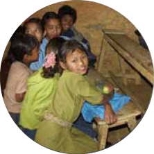
![Group of children gathered around a piano, with one girl sitting at the keyboard, in a classroom or indoor setting.]()
2002 - Year of mountains
Nepal, Aoraki Mount Cook
LEARNZ joined an expedition to a remote mountain village in the Kathmandu Valley, climbed to Mueller Hut and kayaked on a glacial lake.
-
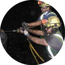
![Two workers wearing safety gear handling equipment, with a dark background.]()
2003 - Petroleum and minerals
West Coast
From 2003 to 2012 LEARNZ went underground/ aboveground to explore coal and gold mining industries and to Taranaki to focus on petroleum facilities.
-
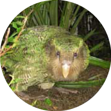
![A snake with the head of a guinea pig camouflaged among green plants.]()
2004 - Kākāpō
Whenua Hou/Codfish Island
Along with trips about takahē, whio, kiwi, shorebirds and birds of prey, LEARNZ visited this special kākāpō sanctuary (on six occasions) to follow the plight of this adorable but seriously threatened ancient parrot.
-
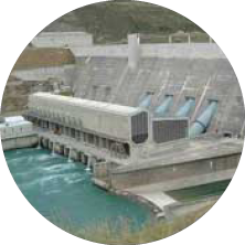
![Hydroelectric dam releasing water through turbines]()
2005 - Energy
Clutha River
During the period 2004 to 2009, LEARNZ visited electricity generation sites including hydro, geothermal, wind and solar energy and explored the working of the national grid.
-
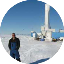
![A man standing outdoors in a snowy environment near industrial equipment under a blue sky.]()
2006 - Antarctic drilling
Ross Ice Shelf
LEARNZ returned to Antarctica from 2006 to 2009, then again in 2012, each time exploring the nature of Antarctic science.
-
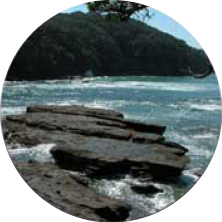
![Rocky shoreline with waves crashing against the rocks during daytime.]()
2007 - Marine reserves
Goat Island
Over six years LEARNZ visited marine reserves and special conservation areas such as Waituna Lagoon, dune lakes and Ō Tū Wharekai.
-
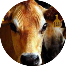
![Close-up of a cow's face with a yellow ear tag marked '144.']()
2007 - Dairy farming
Waikato
During the period 2007 to 2011, LEARNZ visited eight sheep/beef and dairy farms in the Waikato and Canterbury and looked at milk processing.
-
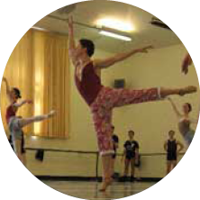
![Group of children practicing ballet in a dance studio, some jumping and stretching.]()
2008 - Ballet and music
Wellington, Christchurch
LEARNZ followed RNZB performers as they prepared for opening night of Carmen and Don Quixote, and got to know musicians as they built up to CSO concerts.
-
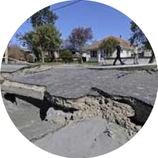
![A cracked and damaged asphalt street with visible underlying gravel, trees, and houses in the background.]()
2009 - Geohazards
Aotearoa-wide
During the period 2009 to 2013+ LEARNZ explored with EQC the risks of volcanic eruptions and earthquakes in Auckland, Wellington and Canterbury.
-
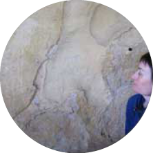
![A person looking at a large map or mural on a wall.]()
2010 - Māori rock art
South Canterbury
LEARNZ discovered how the first people in New Zealand depicted extinct birds and traced their story as they recorded their contact with the first Europeans.
-
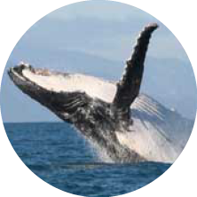
![A whale breaching the surface of the ocean with part of its body and tail in the air.]()
2011 - Whales
Cook Strait
From 2010 to 2013, LEARNZ joined the DOC whale survey team on Arapawa Island, who use science to better understand the fate of the mighty humpback.
-
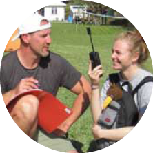
![A man and a woman sitting outdoors on grass, smiling and talking. The man is holding a walkie-talkie, and the woman has a backpack. It appears to be a sunny day.]()
2012 - Expeditions
Raoul Island
LEARNZ was onboard the HMNZS Canterbury with 30 secondary students on the Young Blake Expedition to the Kermadecs.
-
![A person operating a yellow surveying instrument outdoors near water and trees.]()
2013 - Geospatial
Christchurch rebuild
LEARNZ explored the importance of geospatial data and tools in the rebuild of Christchurch.
-
![Industrial facility or factory interior with metal stairs, railings, and bright lighting.]()
2014 - Waterview connection
Auckland
LEARNZ followed Alice the tunnel borer during construction of New Zealand's biggest roading project.
-
![Snow-covered ground with some rocks and a clear sky. A frozen body of water or ice surface is visible in the distance.]()
2015 - Landfills
Sustainability
LEARNZ looked at waste, recycling, the carbon cycle, electricity from methane and engineered landfills at Kate Valley and Redvale.
-
![Group of children holding pictures of birds outdoors.]()
2016 - Citizen science
Nationwide
During the Garden Bird Survey and Kereru Count, LEARNZ worked with students on citizen science projects.
-
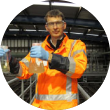
![Young man wearing safety glasses, orange safety jacket, and blue gloves, holding a beaker with an orange liquid in a laboratory or industrial setting.]()
2017 - Water
Wellington
LEARNZ followed the journeys of freshwater, wastewater, stormwater and won two NZ Copyright Licensing Education Awards.
-
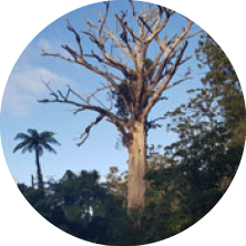
![Large, leafless tree with branches stretching outward, situated in a lush outdoor area with a palm tree and green foliage in the background against a blue sky.]()
2018 - Kauri dieback
Northland, Auckland
The latest in a series of LEARNZ kauri trips, interacting with schools about the potentially catastrophic impact of this deadly disease on our native taonga.
-
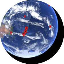
![View of Earth from space showing multiple red location markers over the Pacific Ocean and surrounding areas.]()
2019 - Map my waahi
Mapping
In a series of field trips around Aotearoa New Zealand, LEARNZ worked with experts to help students make interactive maps about their own places and heritage.
-
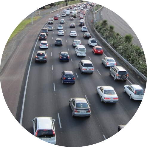
![Motorway traffic]()
2020 - Sustainable transport
Getting Around
Leading up to Road Safety Week, this field trip explored new ideas in redesigned landscapes that support safe ways you can get around by walking, riding or driving.
-
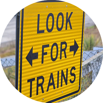
![Sign that says Look for Trains]()
2021 - TranzAlpine
A STEM-learning journey with a view
LEARNZ took the TranzAlpine train journey, from Ōtautahi Christchurch to Māwhera Greymouth, for a sense of engineering achievement in this spectacular and challenging landscape.
-
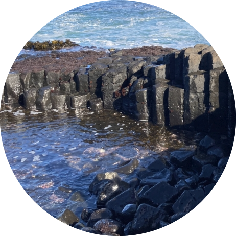
![Rock formation]()
2022 - Tsunami
Lessons from the Chathams
LEARNZ traveled to Rēkohu/ Wharekauri to explore the impacts of past tsunami and how these events can help us to prepare for future tsunami in other parts of Aotearoa.
-
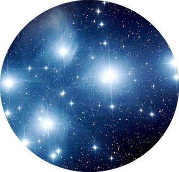
![Matariki cluster of stars]()
2023 - Matariki
Dr Rangi Matamua shares his mātauranga
LEARNZ helped ākonga learn about how to celebrate Matariki in classrooms, homes and communities.
-
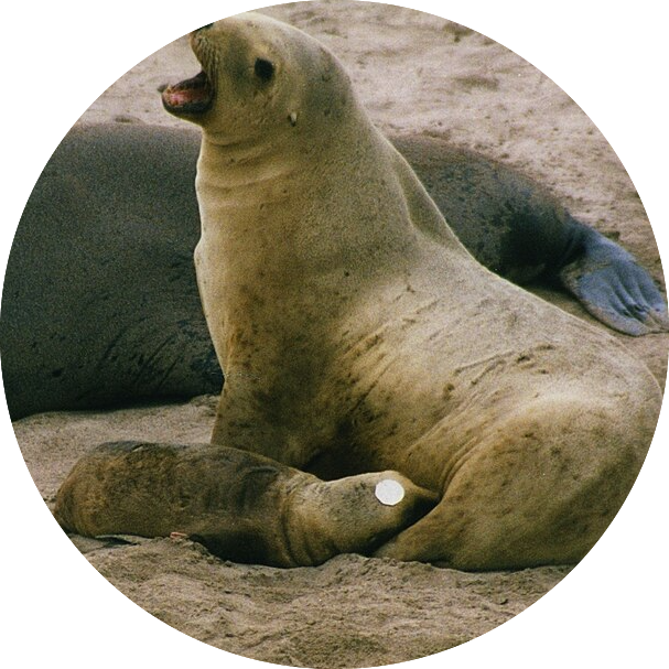
![Sea lion nursing]()
2024 - Pakake New Zealand sea lions
The return of a taoka species
LEARNZ took an immersive journey to locations around Ōtepoti Dunedin to find out about the population recovery of the pakake New Zealand sea lion.
-
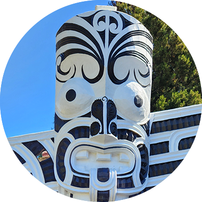
![Pou]()
2025 - Origin stories
Raukawa
LEARNZ went deep into the Waikato, exploring local histories, mātauranga and knowledge of the iwi of Raukawa.
Explore our video collection
Visit the LEARNZ Vimeo Collection to explore all our previous and current online field trip videos.
Explore our photo gallery
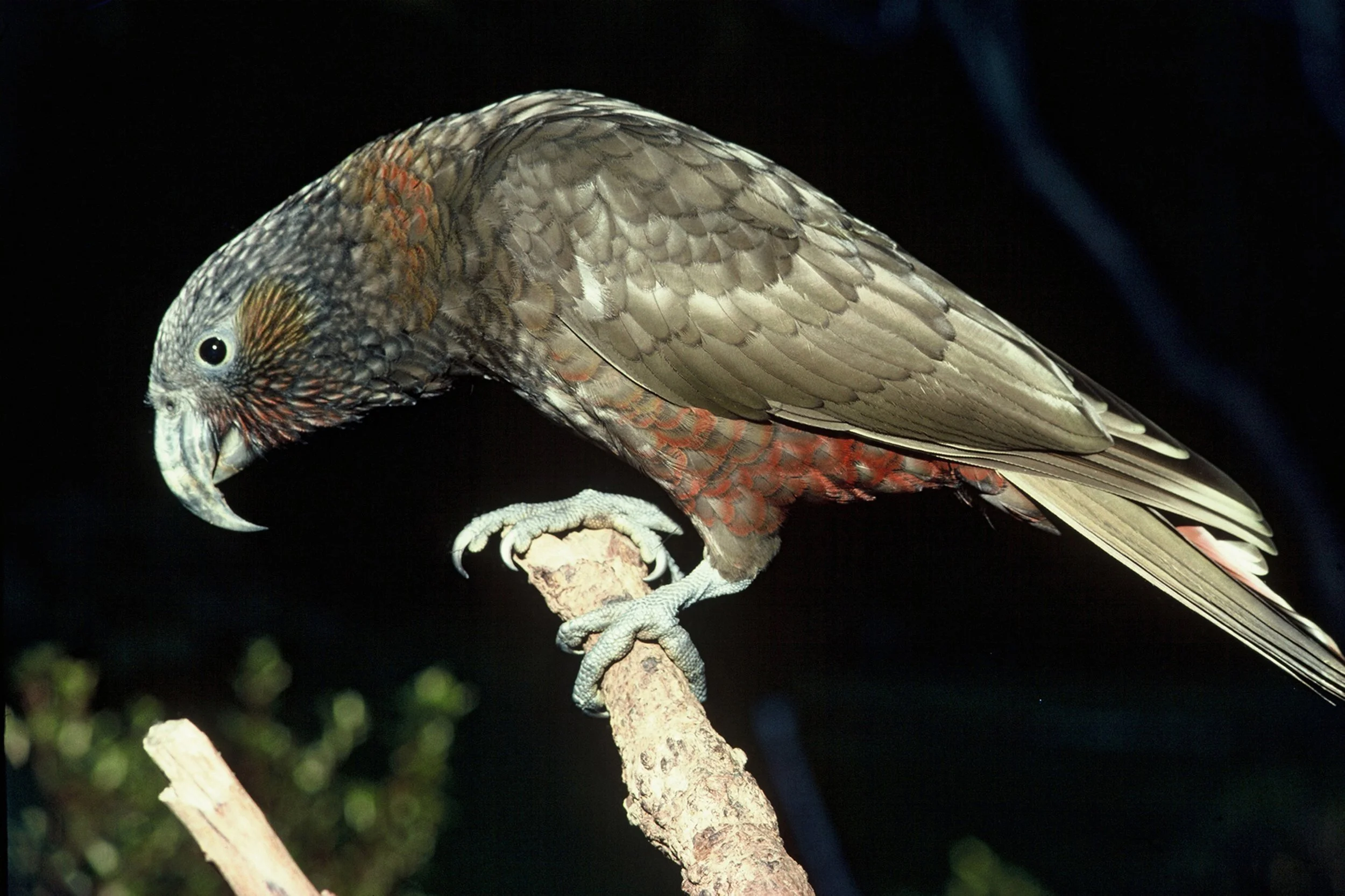
Kākā are large, forest-dwelling parrots endemic to Aotearoa New Zealand. They are found on all three main islands of New Zealand and on several offshore islands.
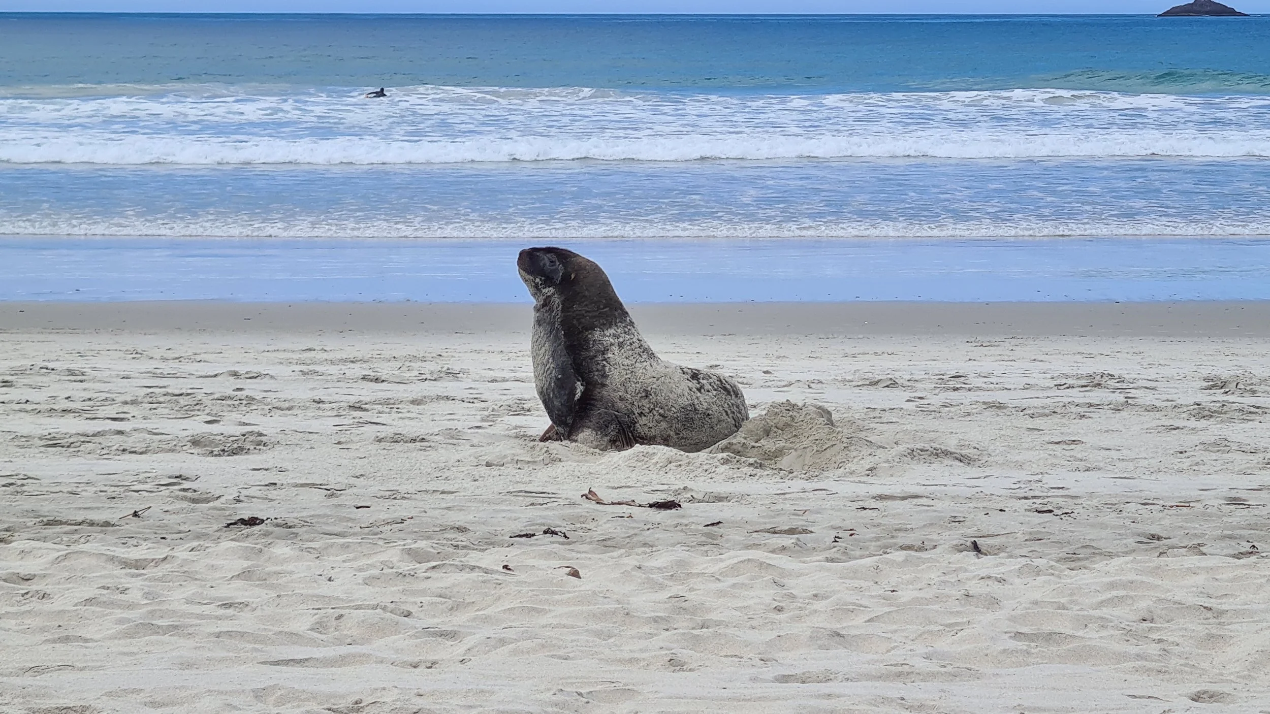
Pakake the New Zealand Sea Lion once bred nationwide but were wiped out from the mainland. They have now returned to the south-east coast and breed as far north as Ōtepoti Dunedin.
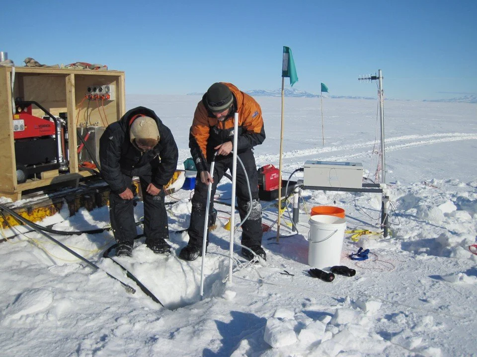
Scientists studying the effects of climate change on Antarctic sea ice drill through the ice to take measurements.
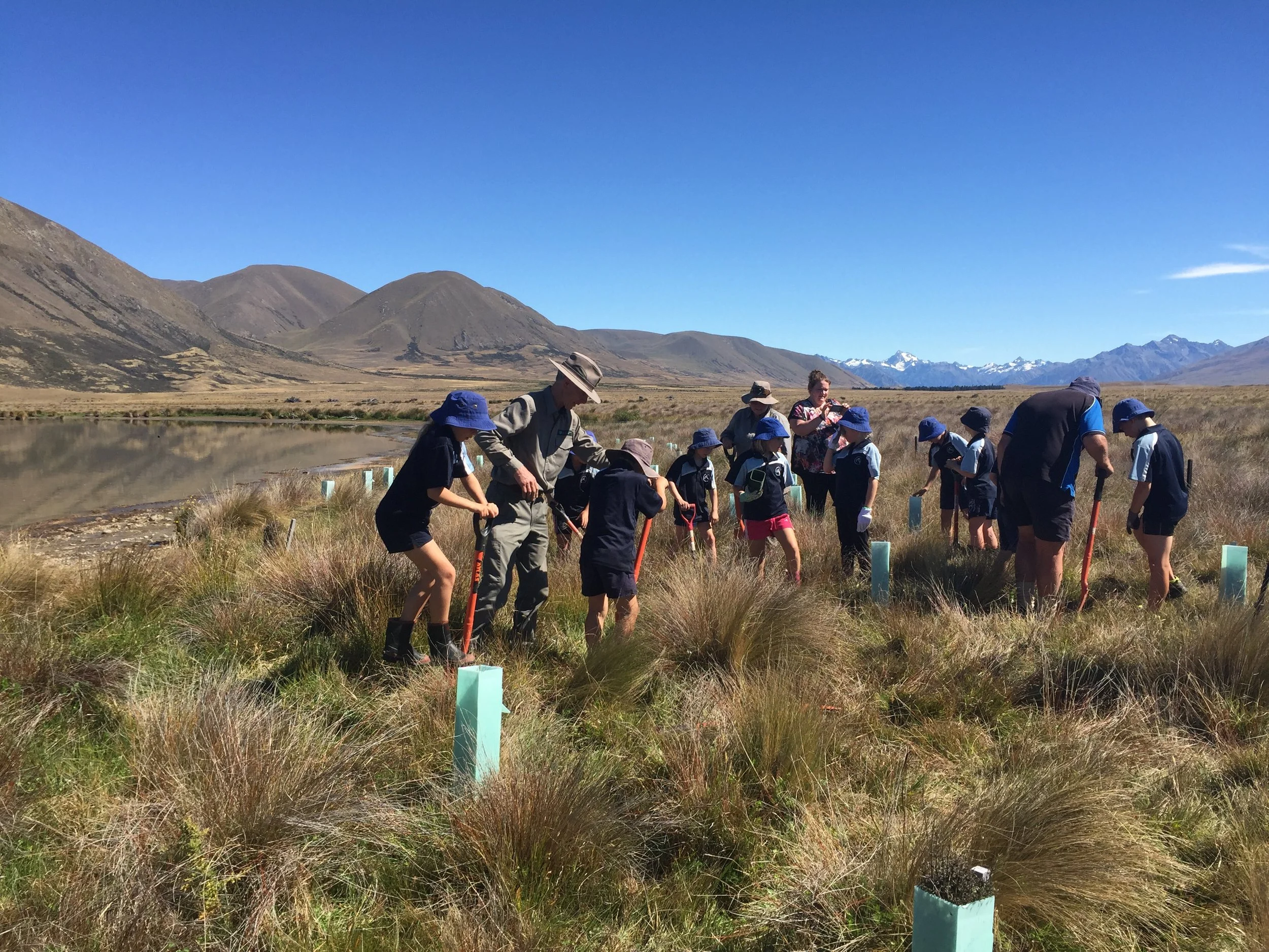
Ākonga from Mount Somers Springburn School help restore wetlands in Ōtuwharekai, a nationally important wetland recognised for its outstanding biodiversity.
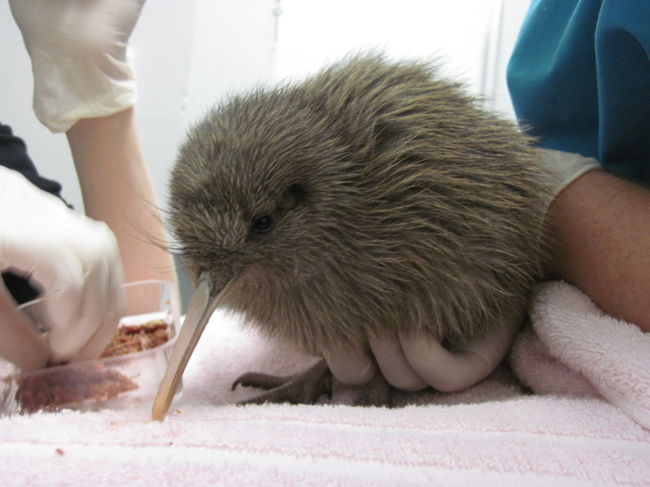
A rowi chick being fed at the West Coast Wildlife Centre. Rowi are the world's rarest kiwi so some rowi chicks are reared in captivity until they are large enough to fight off predators.
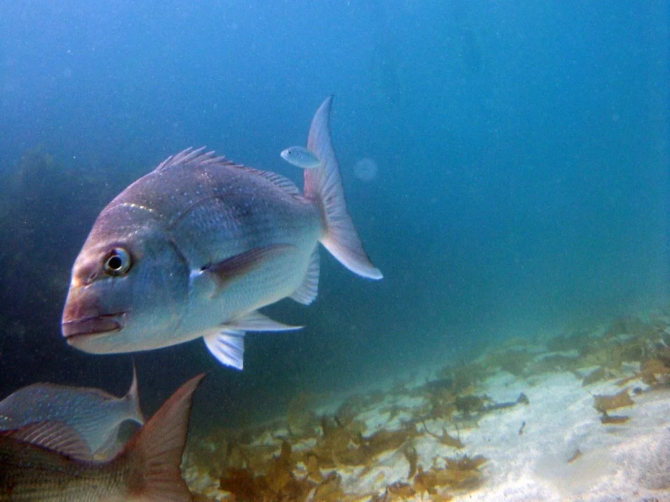
Tāmure, snapper live in a wide range of habitats in warmer coastal waters around the North Island and the top of the South Island. Snapper are named after their strong jaws and big teeth.
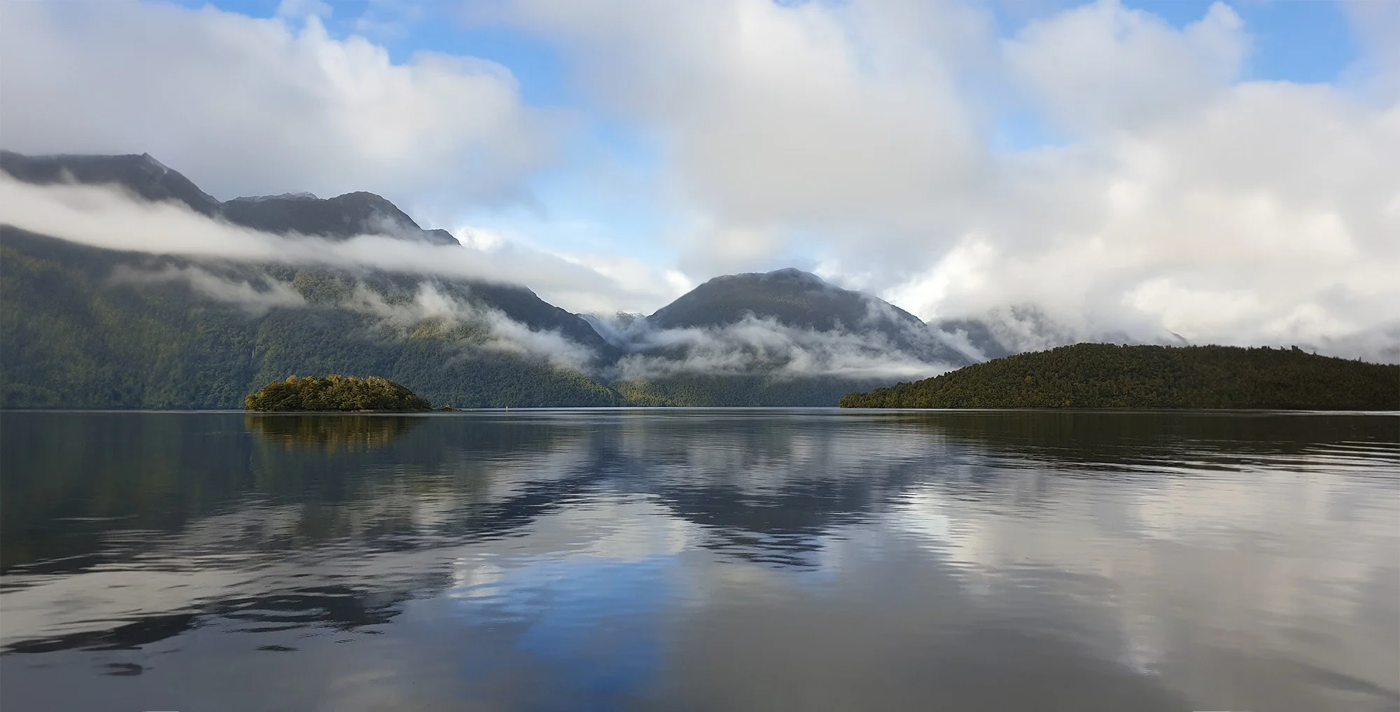
Tamatea Dusky Sound in Te Rua o te Moko Fiordland. This area is famous for its biodiversity and stunning landscape, forming New Zealand's largest National Park.
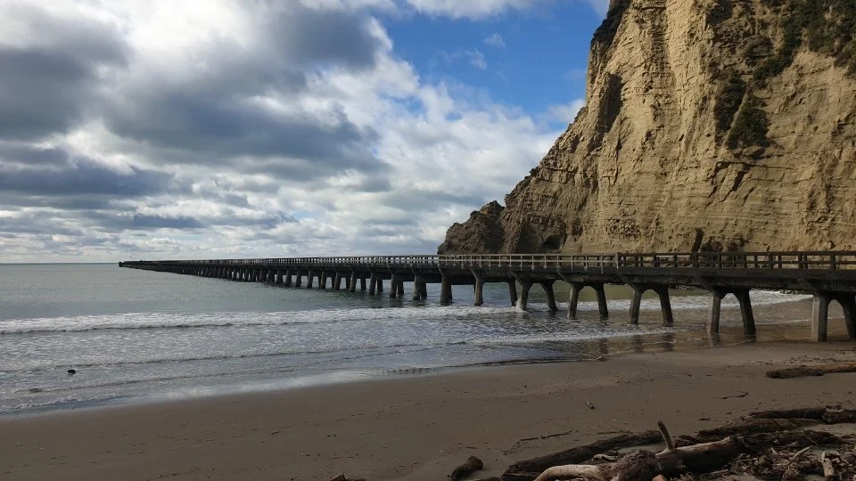
The wharf at Ūawa Tolaga Bay took three years to build from 1926 to 1929. It is a massive 660 metres long and was closed to shipping in 1968.
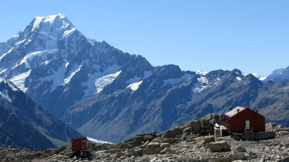
Aoraki Mount Cook is the highest peak in Aotearoa. To Ngāi Tahu, Aoraki represents the most sacred of ancestors, from whom Ngāi Tahu descend.
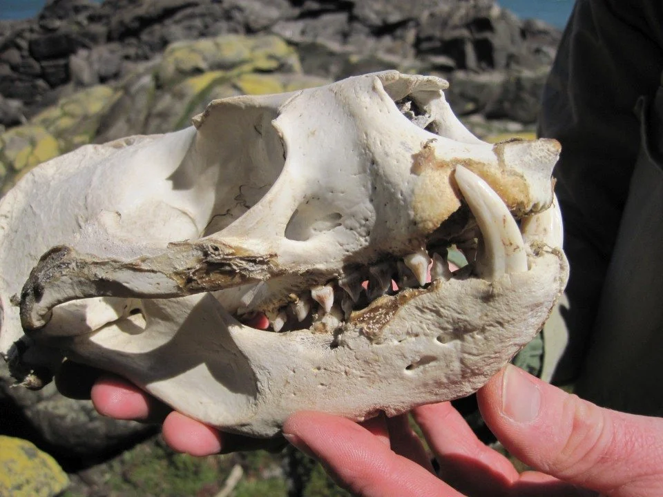
The skull of a pakake New Zealand sea lion. Pakake are a taoka species for Ngāi Tahu. Māori used the flesh, bone and fat of pakake for food, decoration, tools and medicine.
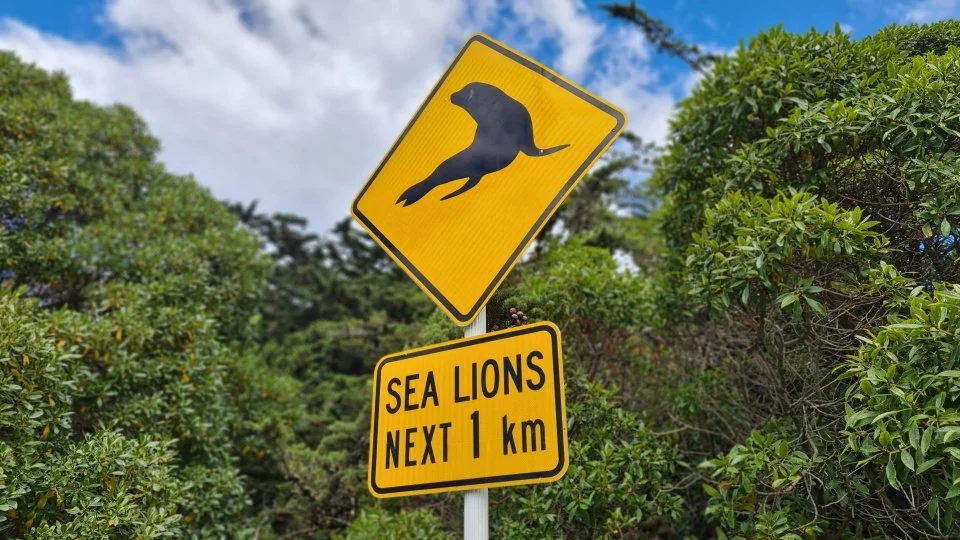
Pakake New Zealand sea lions often end up on New Zealand's coastal roads as they are close to their habitat. Pakake have been hit and killed by cars so warning signs have been erected.
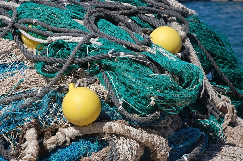
Over fishing threatens the health of marine ecosystems. The Quota Management System in New Zealand sets out rules to manage fishing.

Aotearoa New Zealand is tectonically active so has many natural hazards. Organising emergency supplies is an important part of preparing for natural hazard events.

Everyone should have a plan of what to do in an emergency. Online resources can help you and your whānau to prepare for future emergencies.
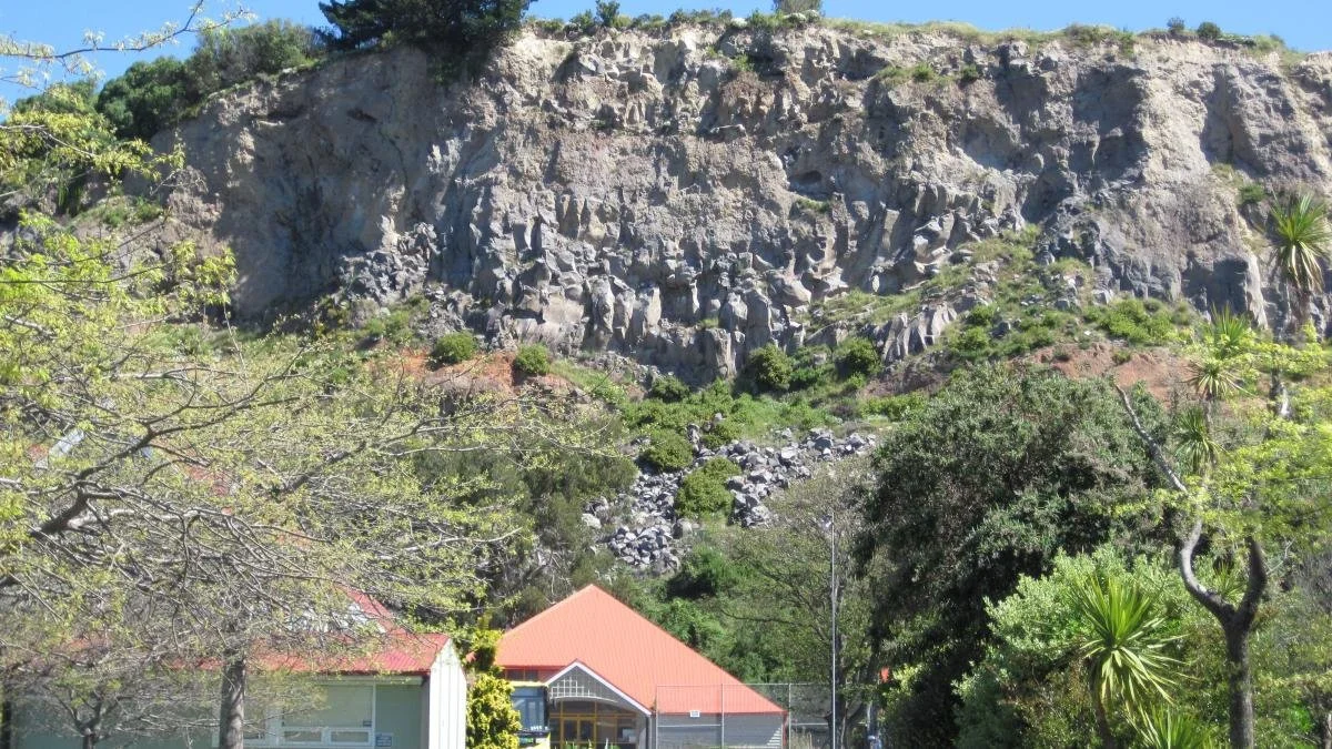
Rockfall during the Canterbury earthquakes was a major hazard. This cliff collapse at Redcliffs in Ōtautahi Christchurch led to the relocation of Redcliffs School.
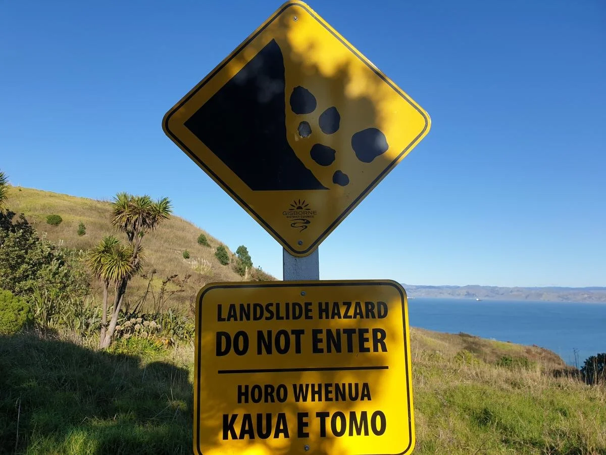
Landslides are a common and costly natural hazard. Landslides cause more loss of life than any other geological hazard in Aotearoa New Zealand.
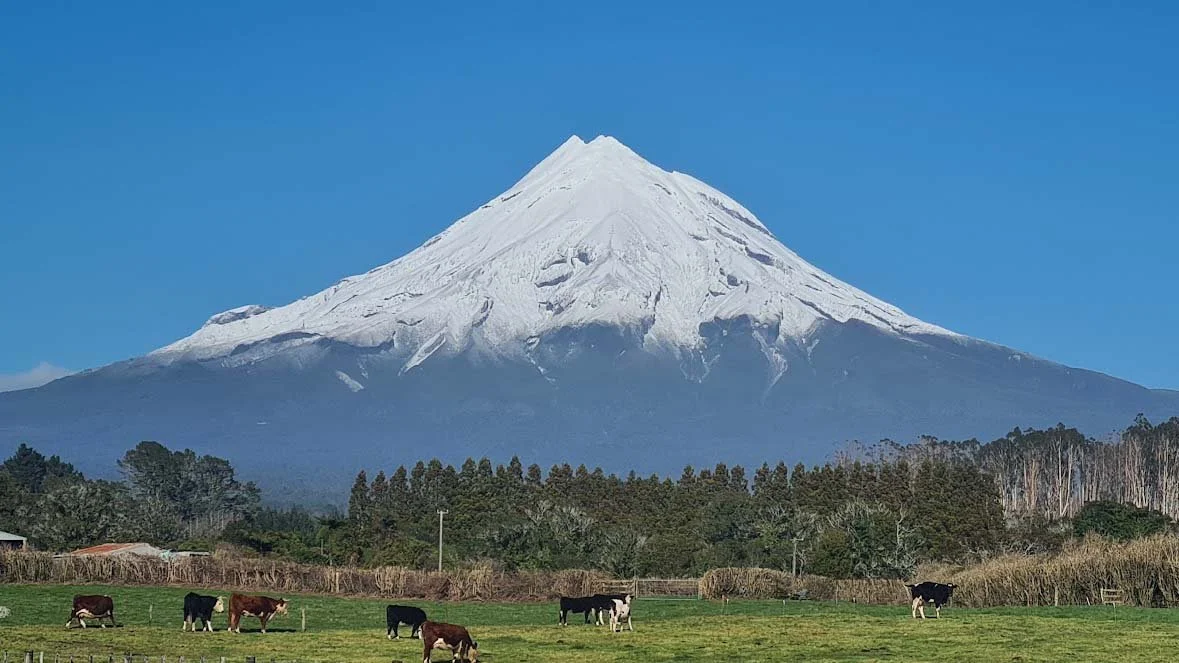
Taranaki mounga is an ancestor and living being, representing a significant spiritual connection for the eight iwi of the region. This active volcano last erupted 150 years ago.
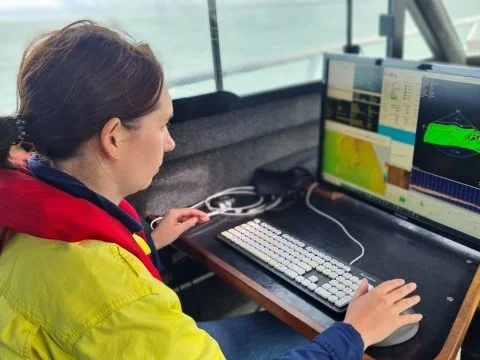
A hydrographic surveyor collects data to map the depth of the seabed. This information helps people to safely navigate at sea and manage the marine environment.
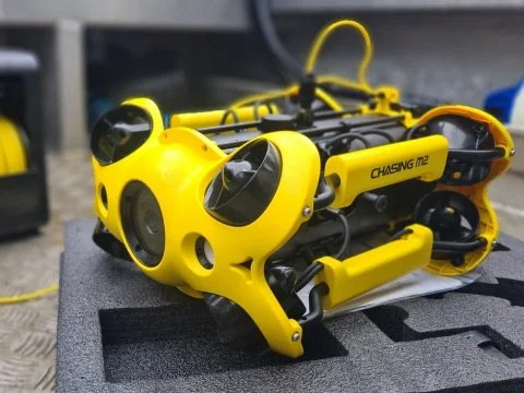
An underwater remotely operated vehicle (ROV) can be used for mapping the seafloor. ROVs have cameras and sometimes sonar attached, giving a close-up view of what’s happening under the sea.
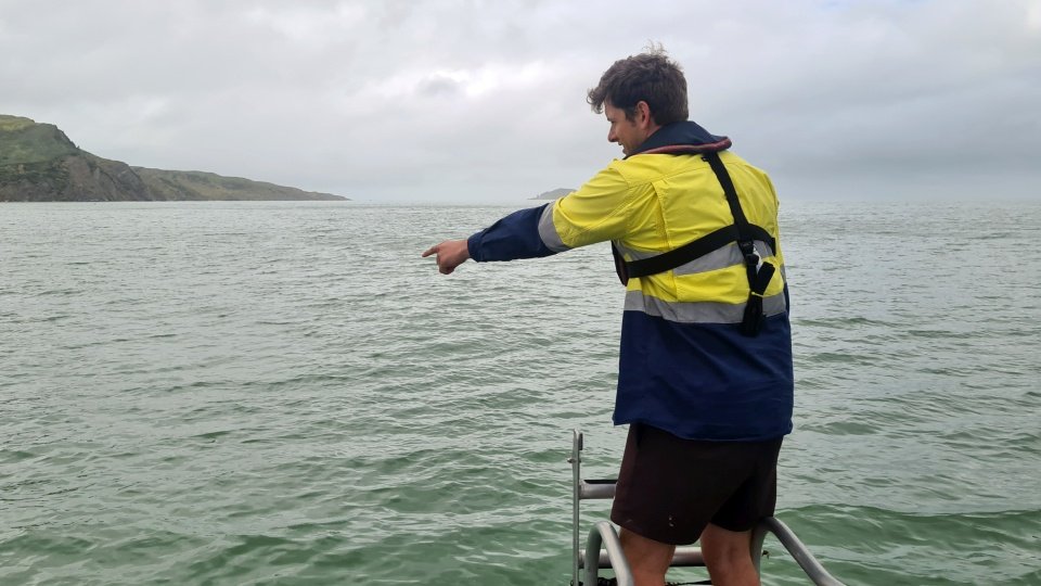
A hydrographic surveyor works with a team of people as they collect data to create more detailed maps of the seafloor.
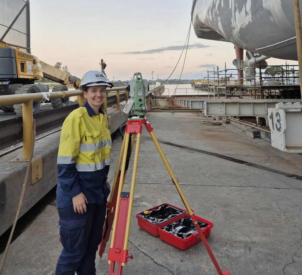
A surveyor at work. Surveying involves measurement, mapping and the analysis of data. Surveyors often get to work outdoors with cutting edge technology.
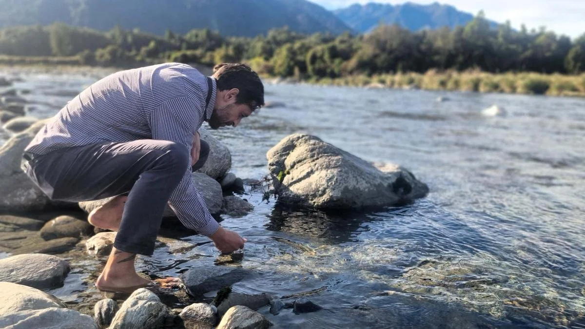
Searching for pounamu in the Arahura river. Pounamu is a taonga for Māori and a symbol of strength, connection and mana.
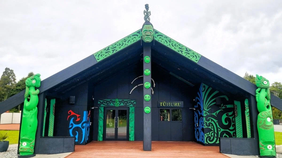
The whare nui Tūhuru on Arahura Marae, the spiritual home of the Ngāti Waewae people, was opened in 2014.
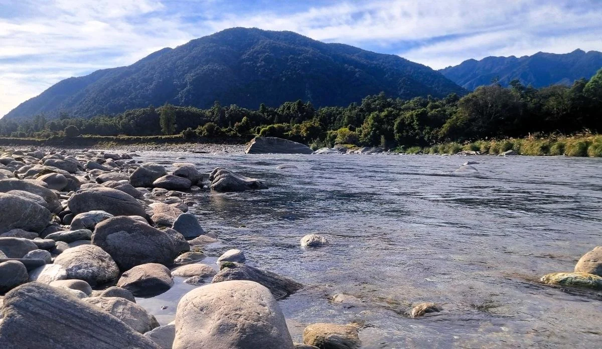
The Arahura River on Te Tai o Poutini the West Coast of the South Island is renowned among Māori for its pounamu.