


You can contact LEARNZ, part of CORE Education, at:
Postal Address:
PO Box 13 678,
Christchurch 8141,
New Zealand

Whatungarongaro te tāngata toitū te whenua
As people disappear from sight, the land remains.
Many different people, communities and organisations are working to restore the whenua in their local area. Restoration work relies on knowing the location of things such as wetlands, fencelines, traps, trails, bird nesting sites, rare plant species and so much more.
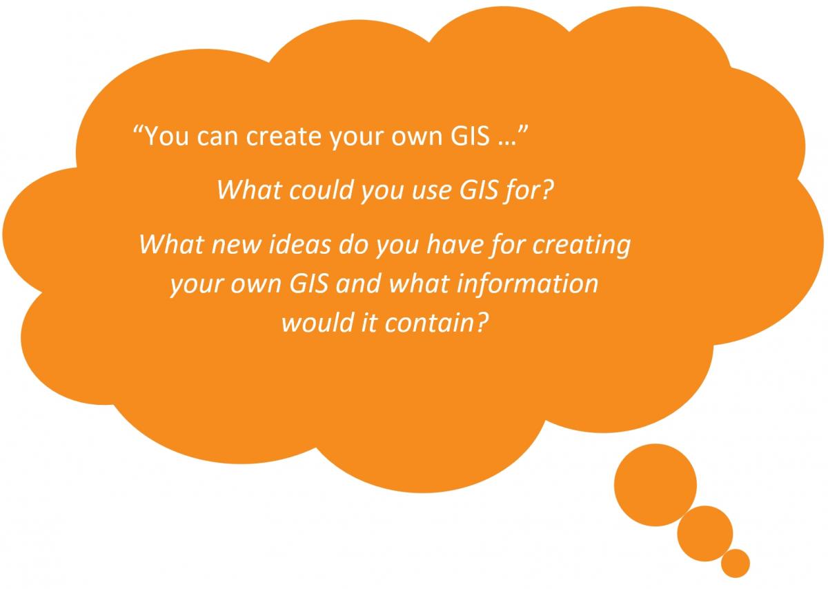
Huge advances in mobile technologies and public access to map data means that anyone can now create their own maps to share information. This is especially useful for restoration projects which often involve a lot of different people, including volunteers, who all need access to location-based information.
Paper maps have been replaced by smartphone-based maps that can even talk to you as you navigate through unfamiliar places.
TrapNZ is an example of how technology can be used to manage pests. TrapNZ uses layered maps and colour coding to show which traps catch most predators, and how. The Trap.NZ app lets users plot traps and bait stations in the field and collect information such as what bait was used, what was caught and when the trap was last checked. The app works offline and syncs the data to the Trap.NZ website when you’re back online.

Geospatial tools can be used to support all types of restoration projects.
Mapping applications can be used to:

GIS allows different map layers from many different sources to be placed on top of each other to tell a story about a particular site or local species. You can even use data from other organisations to overlay with your own information.
Check out the Toitū Te Whenua Land Information New Zealand LINZ database to access map data for use in your own projects - https://data.linz.govt.nz
ArcGIS software is used to create field applications for mobile data collection in the field. There are two main applications that LINZ uses to create mobile applications for their partners.
These apps can be used offline without turning on your Wi-Fi or 4G network. Just enable your location so that the mobile device gets connected to the satellites in the sky. During the field trip you will see how these apps can be used to help with the Hokonui Restoration project.
Complete the Technology behind restoration quiz >
> Discover more about mapping technology and restoration