You can contact LEARNZ, part of CORE Education, at:
Postal Address:
PO Box 13 678,
Christchurch 8141,
New Zealand
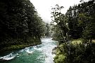
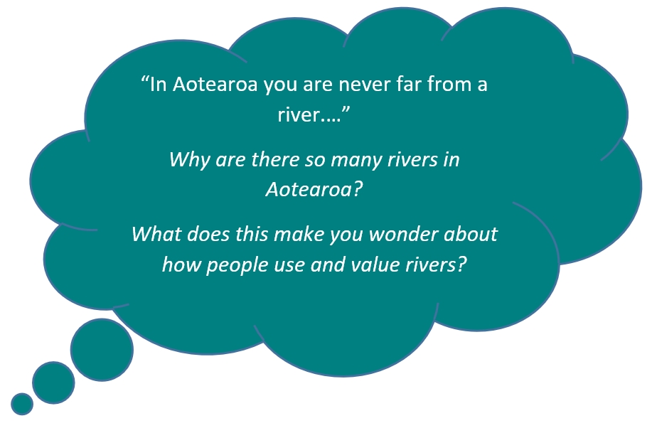
In Aotearoa you are never far from a river. For a small country Aotearoa has a large number of rivers. This is because of our regular rainfall and our mountains.

A river is a natural flowing channel of water, usually freshwater, flowing towards an ocean, sea, lake or another river. In some cases a river flows into the ground and becomes dry at the end of its course without reaching another body of water.
Small streams are formed, which get bigger as they collect more water and join up with other streams. The ever-increasing stream wears away the ground as it goes, carving out valleys and shaping the landscape.
The speed of the flowing water and the hardness of the ground have an effect on the shape created. This ‘wearing away’ is called erosion.

Mountains and weather affect the formation of rivers. There are many mountains and hills in Aotearoa. These high areas can be windy and receive high rainfall.
Some moisture falls as snow in the mountains because the higher you go the colder it gets. A lot of the water from rain and snow seeps into the ground. This water is slowly released back to the surface as it flows downhill in streams and rivers.
Because Aotearoa has mild temperatures less precipitation is evaporated so rivers remain high for most of the year. Unlike many countries, which lose 70% of their precipitation through evaporation, New Zealand loses on average just 30%.
River levels change during the year. Most rivers have lower average flows during dry summers. In the South Island snow melt affects river flows. Snow-fed rivers have the lowest flows during winter and spring, before the snow melts.

Rivers can be shaped by:
Glaciers have carved out valleys in the South Island mountains carrying down gravels which collect on the plains, creating braided rivers. Earthquakes and volcanoes can also affect the course rivers take.
The headwaters of most of the major rivers in the South Island were once glaciers. During ice ages, glaciers moved down the mountains, carving out river valleys, and carrying down glacial gravels (called outwash). The Canterbury Plains were formed from outwash gravels, which also created the wide beds of braided rivers such as the Rakaia.
Earthquakes and volcanic activity can affect the course of rivers. Wherever faulting occurs and there is enough water flow, rivers will follow faults. Earthquakes can cause landslides which can dam rivers or change their course.
Rivers are affected by rock type. Soft rocks like mud and sandstone are easily worn away so rivers can form deep, wide channels. Harder rocks like schist lead to steeper faster flowing rivers with large boulders and rapids.
Ready for a quiz? Try the Rivers of Aotearoa interactive activity.