


You can contact LEARNZ, part of CORE Education, at:
Postal Address:
PO Box 13 678,
Christchurch 8141,
New Zealand

In Māori tara means mountain peak and naki is thought to come from ngaki meaning shining - referring to the mountain’s winter snow cover.
Taranaki is a cone volcano made of layers of lava and tephra. The summit crater is filled with ice and snow and has a lava dome in the centre. There is a secondary cone called Fantham’s Peak on the south side. Volcanic debris from lahars and landslides covers the plains around the volcano. Volcanic activity has helped with farming in the region as volcanic ash has been weathered and mixed with the soil to produce rich, fertile farmland.
Taranaki is the youngest, largest and only active volcano in a chain that includes the Kaitake and Pouakai Ranges, Paritutu and the Sugar Loaves. All these are now eroded remains of what were once large volcanoes.
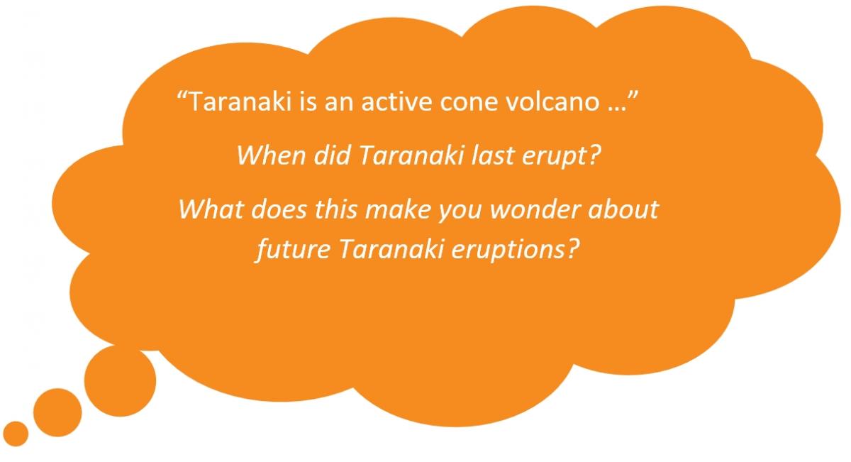
Taranaki began erupting about 130,000 years ago, with large eruptions occurring on average every 500 years and smaller eruptions about 90 years apart. An explosive medium sized ash eruption occurred around 1755AD and minor volcanic events (creation of a lava dome in the crater and its collapse) occurred in the 1800’s. The last major eruption was around 1655 AD.

Taranaki mounga once lived with the mountains Tongariro, Ruapehu, Ngāuruhoe, Tauhara, Putauaki, and Pihanga in the middle of Te Ika a Māui. Taranaki fell in love with the beautiful Pihanga but she was desired by other mounga. Conflict over Pihanga tore apart the community. Tongariro was the eventual victor and Taranaki was forced to leave his home.
With great sadness Taranaki travelled west and during the journey he was led by the stone Te Toka a Rauhoto. Rauhoto and Taranaki followed the Manganuiteao awa to the Whanganui awa. They then headed to the west coast and rested at Ngaere swamp. Their migration ended when Taranaki settled next to the two mounga named Pouakai and Patuha. These mounga welcomed Taranaki and he has stood there ever since.
Pukeonaki and Pukehaupapa are earlier names for Taranaki. The whakataukī ‘Te Ahi a Tahurangi’ - 'The fire of Tahurangi’ commemorates the tupuna Tahurangi claiming the mountain for Taranaki iwi by lighting a ceremonial fire on the summit.
Te Toka a Rauhoto sat between the Hangataahua awa and Werikino awa and for many generations was revered as the guidestone of Taranaki Mounga. In 1948 the people of Ngā Mahanga decided that Te Toka a Rauhoto should be moved from where it rested next to Otaunui (on Komene Road) to Puniho Pā. The tohunga Te Ao Mārama was tasked to lift the tapu so that it could be relocated safely. Te Toka a Rauhoto was shifted to its present location on Wednesday 22 December 1948.

 When Taranaki erupts
Taranaki is the most likely volcano in Aotearoa to cause national-scale impacts over our lifetimes. Positioned upwind from the regions of Auckland, Waikato and Bay of Plenty, all Taranaki eruptions will disrupt air and surface transport, tourism, farming, power and water supplies.
This volcano has a 50% probability of erupting over the next 50 years. Taranaki’s last significant eruption was around 1790, so we don’t have any modern experience of Taranaki erupting. Past research shows that once Mt. Taranaki starts erupting, it continues for years, decades, or centuries.
Complete the Taranaki volcano quiz
> Discover more about volcanoes and volcanic hazards