


You can contact LEARNZ, part of CORE Education, at:
Postal Address:
PO Box 13 678,
Christchurch 8141,
New Zealand
Technology allows people to know exactly where things are. Knowing the location of things helps people in all sorts of ways. On this field trip you will look at how to use mapping technology to help plan and complete an outdoor adventure.

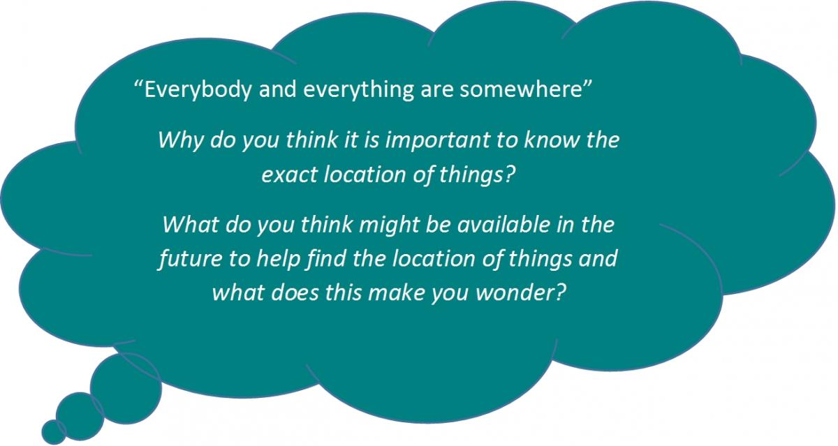
Everybody and everything are somewhere. The ‘where’ is a location on the ground. A map shows where things on the ground are. Every day we use and collect information about where things are; this information is called geospatial data.
We all know something about where we are. When you close your eyes, you can imagine where you are. For example, with your eyes closed you can point to the door you used to enter the room you are in. You might be able to point to where you live or where your school is. We all hold pictures in our heads that help us decide how to move across the school grounds or travel home. These pictures are based on what we have done in the past.
Information about where things are is called location-based information or geospatial data.

Since the time of cavemen people have needed to know where they are and where to go to find food and shelter. People have been drawing pictures to show where things are for a very long time.
Now technology is making it much easier to show where things are.
Māori had named every feature of the land long before other people came to Aotearoa. Māori shared this information in kōrero or whakapapa (oral maps). Sometimes posts or piles of rocks were used to mark places. Māori did not draw maps.

Information for making maps was first collected by people who recorded what they saw. Pictures were drawn to show where things were. Today technology can give us very accurate information on where things are.
Ready for a quiz? Try the Finding Your Location interactive activity.
The first people to make maps were often sailors or explorers.
People who have the job of making accurate measurements of the surface of the Earth so we can make maps are called surveyors. These days aerial photos and satellites give us very accurate data about the surface of the Earth.