


You can contact LEARNZ, part of CORE Education, at:
Postal Address:
PO Box 13 678,
Christchurch 8141,
New Zealand
Topographic maps show features which are on the Earth’s surface.

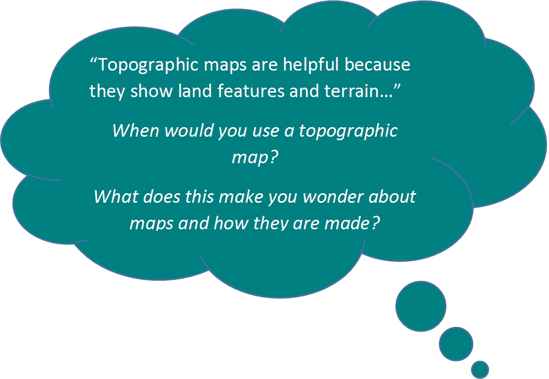
Topographic Maps are helpful because they show land features and the shape of the land (topography).
A topographic map shows the following features;
The level of detail shown on maps depends on the scale of the map.
A small-scale map shows less detail than a larger scale map.
The most used topographic map in New Zealand is the Topo50 map. These maps are at a scale of 1:50,000 which means one centimetre on the map equals 50,000 centimetres, or 500 metres on the ground.
Topographic maps include a north point. This shows the direction of Grid North and Magnetic North and is used to orient the map.
Before the features from the Earth's curved surface can be shown on a flat map, the position of a constant point is needed. This fixed point is called a geodetic datum and for New Zealand is based on the Earth's centre of mass.
Map scale examples
| Scale | Ground distance of 1cm on the map |
| 1:50,000 | 500 metres (NZ Topo50 maps) |
| 1:250,000 | 2.5 kilometres |
| 1:1 million | 10 kilometres |
| 1:2 million | 20 kilometres |

The legend on a map shows the symbols used to represent features on the ground.
Topo50 maps show 20 metre contour lines. These lines join points of equal height and show the shape or height of the land.
A legend shows features such as roads, tracks, rivers, lakes, vegetation, fences, buildings, power lines etc.
Given the size of a map it is not possible to show all features on the ground. Symbols are grouped in themes on the legend.
Contour lines show elevation or height. Contour lines that are close together show steep land. Contour lines that are far apart show that the land has gentle slopes.

Map coordinates can be shown as:
To find out more about reading topographical maps go to the 36 page LINZ Topo50 Map guide (PDF 1.5Mb). The map guide includes information about using a compass with a printed paper topographic map.
You can see digital topographic map coverage of New Zealand at http://www.topomap.co.nz/.
Ready for a quiz? Try the Topographic Maps interactive activity.
To find out where in New Zealand you can buy official LINZ printed topographic maps for your region go to Search Map Retailers. Access to digital map data and images that LINZ uses for its topographic maps are available for free through the online LINZ data service LDS.
LINZ official topographic map images are used in smart phone Apps like NZ Topo50 that can be downloaded for both iPhones and Android phones. Complete topographic map coverage of New Zealand can then be stored offline in your phone so that if you are outdoors without phone coverage you can still find your location on the phone maps via satellite GPS technology.
It’s still good practice though to take a paper topographic map with you in the bush in case your phone battery runs out!
Digital topographic map coverage of New Zealand is also available at the following website http://www.topomap.co.nz/.