


You can contact LEARNZ, part of CORE Education, at:
Postal Address:
PO Box 13 678,
Christchurch 8141,
New Zealand
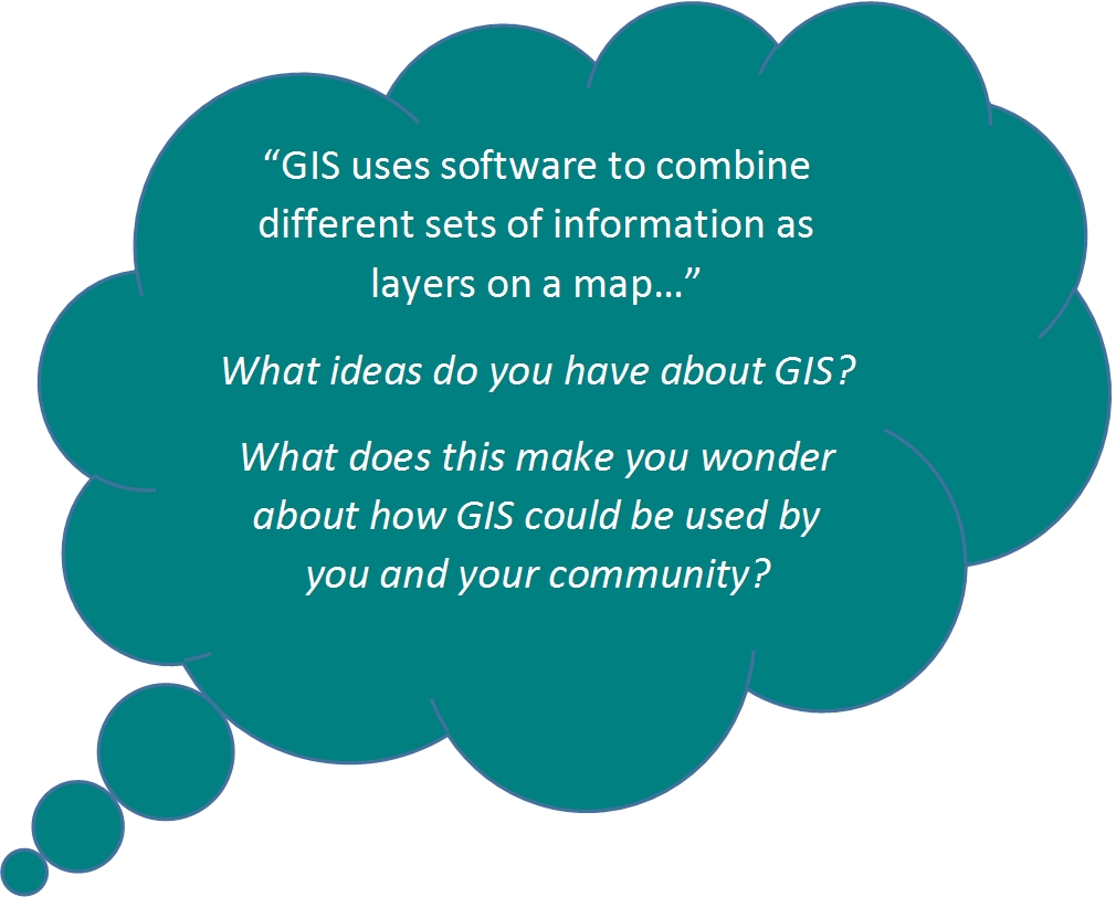
GIS stands for Geographic Information System. GIS uses software to combine different sets of information as layers on a map.

Maps have come a long way since people first began drawings to show where they were. Modern maps are created using special software that combines lots of different sorts of information. This system of modern mapping is called GIS – Geographic Information Systems.
GIS is used by organisations, such as the Mountain Safety Council, Rescue Coordination Centre, Life Flight Trust, Police Search and Rescue and City Councils.
GIS allows organisations to;
GIS allows a lot of different information to be shown on one map. Different layers or sets of information can be shown together or separately. GIS gives people a picture of data that allows them to:
GIS requires four things:
Data contained in a GIS system is stored in sets of data called ‘data sets’ in a database. Data sets can be selected, combined and presented as layers:

GIS can be used to help plan outdoor activities by looking at different sets of information all on the one map.
Ready for a quiz? Try the Adding Information to Maps with GIS interactive activity.
An example might be that you want to see a map with walking trails, biking trails, roads, cell phone reception, nearest petrol stations or food outlets. You may also want to see weather information on this map.
It is helpful to see all of this information together and linked to a location.