


You can contact LEARNZ, part of CORE Education, at:
Postal Address:
PO Box 13 678,
Christchurch 8141,
New Zealand
The Alpine Fault is where two great tectonic plates push together and past each other. Movement along this fault has uplifted the Southern Alps and caused large earthquakes.

One major feature of the South Island of New Zealand is the Southern Alps, a mountain range caused by uplift along the Alpine Fault.
The Alpine Fault:
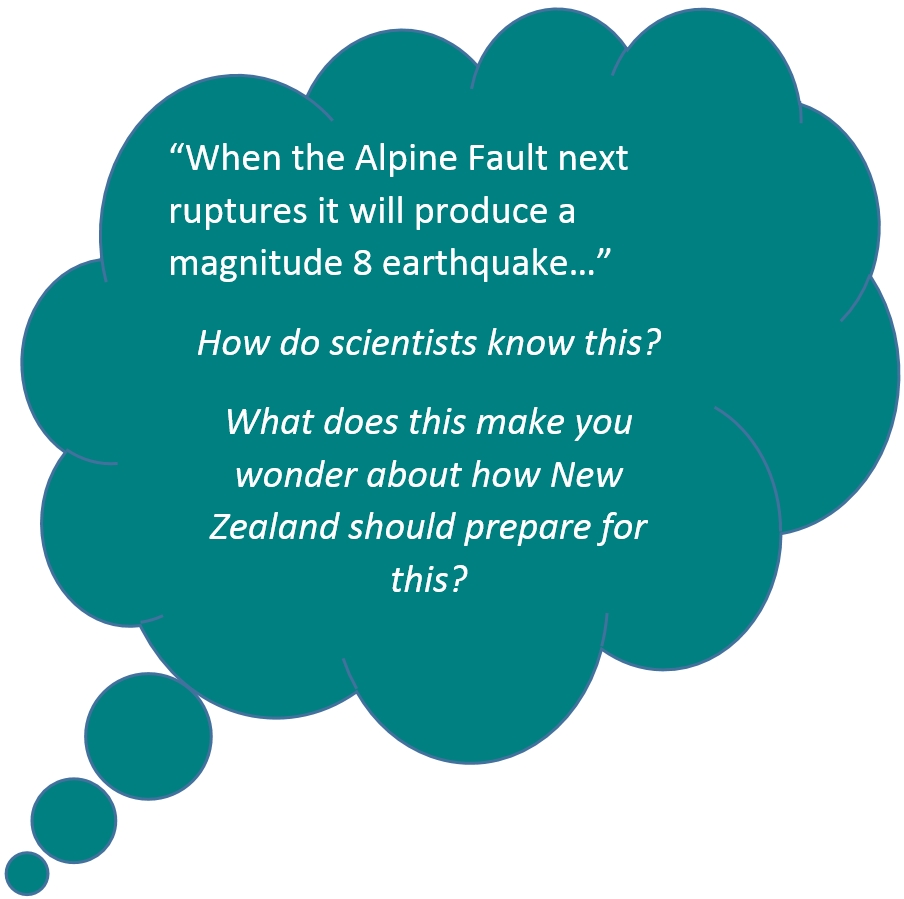
This fault has suddenly moved or ruptured four times in the past 900 years, each time causing an earthquake of about magnitude 8. Recent research has found that the average time between large earthquakes on the fault is 330 years. But there has been as little as 140 years and as much as 510 years between Alpine fault earthquakes.

The Alpine Fault moves about 30m sideways per 1,000 years, or about 10m during each major earthquake. Each time it breaks in an earthquake, it has also moved upwards. Over time this has lifted the Southern Alps.
There is no way of predicting exactly when an earthquake will happen. There is a chance that the Alpine Fault will rupture during the lives of many New Zealanders alive today. This is based on how regularly it has ruptured in the past.
A rupture on the Alpine Fault will produce a large earthquake that will have a major impact on the lives of many people. In between earthquakes, the Alpine Fault doesn’t move and slowly builds up energy to be released in the next earthquake.
An Alpine Fault earthquake:
Scientists are interested in how often a fault ruptures and how far it moves when it ruptures. By studying the landscape, measurements of past movements can be made and dated. This helps people living near fault lines to prepare for future earthquakes.
Ready for a quiz? Try The Alpine Fault interactive activity.
Research has shown that the Alpine Fault has a history of generating regular, large earthquakes. Scientists studied silt layers at Hokuri Creek. The silt layers formed when Hokuri Creek was dammed during large earthquakes.
Scientists were able to radiocarbon date leaves and seeds that were buried by silt each time there was a major earthquake. Scientists now know the dates of the last 24 Alpine Fault earthquakes on the southern end of the fault.
The Deep Fault Drilling Project is an international science project studying the Alpine Fault. By drilling into the fault scientists will be able to collect rock and fluid samples and make measurements. Scientists will lower equipment into the bore hole so they can continually monitor the fault zone. You can find out more about this project here.