


You can contact LEARNZ, part of CORE Education, at:
Postal Address:
PO Box 13 678,
Christchurch 8141,
New Zealand
When there is an earthquake, scientists want to know how big it was, and where it happened. Seismometers are devices that detect the seismic waves from earthquakes and can be used to find out the size of earthquakes and where they happened.

Once an earthquake has happened scientists need to find out three things about it, the epicentre, the depth (hypocentre) and the magnitude.
Two types of seismic waves are created by earthquakes, P and S waves. They travel at different speeds so are used to find out where an earthquake first happened.
The amount of energy released, or the size of the earthquake can be found from seismometers. In 1935 Charles Richter developed a scale to measure earthquake strength. This scale is used to give each earthquake a magnitude. The magnitude does not take into account the depth of the earthquake.
Each step up the magnitude scale produces a lot more seismic energy, e.g. every 0.2 increase in magnitude doubles the energy released (known as a logarithmic scale). This means that a magnitude 5.0 earthquake produces 32 times more energy than a magnitude 4.0 earthquake.
An earthquake will feel stronger if it is closer to the surface rather than deep within the Earth's crust.
The 2010 Canterbury earthquake measured 7.1 in magnitude and it was centred 40 kilometres west of Christchurch City. It was a shallow earthquake at a depth of 10 kilometres below the Canterbury Plains. The February 2011 earthquake measured 6.3 in magnitude but it caused more shaking and damage in Christchurch as it was only 10 kilometres from the centre of the city and only 5 kilometres deep.
The intensity of an earthquake measures the amount of ground shaking and damage caused. This will change with distance from the epicentre and with the depth of the earthquake; therefore, a smaller magnitude earthquake can feel stronger.
The Modified Mercalli (MM) scale measures the intensity of an earthquake. This is a 12-point scale, based on level of damage and how people felt it. The February 2011 earthquake measured MM9.

A seismometer is a device that scientists use to measure earthquakes. They record the movement of the ground during an earthquake, making a chart called a seismograph.
New Zealand has a network of seismometers across both islands. You can see recent earthquakes on the GeoNet website.
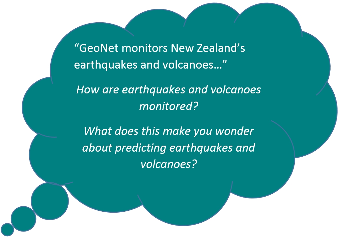
GeoNet is a project to build and operate a hazard monitoring system in New Zealand. It is made up of a network of instruments, computer programmes and trained people to detect, analyse and respond to earthquakes, volcanic activity, large landslides, tsunami and the slow movement that can come before large earthquakes. GeoNet is funded by EQC.
Earthquake data can be seen on the GeoNet website as it is recorded.
Scientists cannot predict earthquakes. But they know that earthquakes happen repeatedly on some faults. In New Zealand, they have identified areas likely to have a damaging quake again. Earthquake-resistant buildings and planning for natural hazards will help save lives in these areas.
Ready for a quiz? Try the Understanding Earthquakes in Aotearoa interactive activity.
Earthquakes can't be predicted but by drilling into faults such as the Alpine Fault scientists may be able to detect changes in conditions that one day may lead to a greater understanding of earthquakes. Find out more by watching this video from GNS.