


You can contact LEARNZ, part of CORE Education, at:
Postal Address:
PO Box 13 678,
Christchurch 8141,
New Zealand

Rēkohu Wharekauri the Chatham Islands are east of Aotearoa New Zealand – 862 kilometres from Christchurch and 772 kilometres from Napier. They are 45 minutes ahead of New Zealand time. The island group includes many small islands, but only the two main ones are inhabited: Chatham Island, also called Rēkohu or Wharekauri, and Pitt Island, also known as Rangihaute or Rangiāuria.
Moriori settled these islands over 800 years ago. The second group to arrive were Europeans. The third group to settle here after invading and claiming the islands in 1835 were Māori that whakapapa to Ngāti Mutunga o Wharekauri.
The Chatham Islands are connected to mainland Aotearoa by the underwater Chatham Rise. The islands’ rock is both volcanic and sedimentary. The soil of the main island is mostly peat. Much of the island is low lying and therefore at risk from tsunami.

The Chathams have no large trees. The vegetation has changed a lot since the arrival of European settlers.
The sea around the Chathams is rich in fish. There are huge flocks of seabirds on the islands. Native birds on the islands include some rare and endangered species – the tāiko (magenta petrel), the black robin and the huge parea (Chatham Island pigeon).
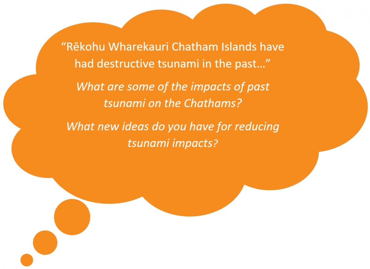
Rēkohu Wharekauri Chatham Islands is exposed on all sides to tsunami generated from local, regional and distant sources. Past tsunami events on the islands have been destructive, causing loss of property, infrastructure and life.

During a high-impact tsunami event which affects locations across Aotearoa, the Chatham Islands may be isolated from outside help for a long period of time. Seven known tsunami inundation events occurred in 1604 AD, 1868 AD, 1877 AD, 1924 AD, 1946 AD 1947 AD and 1960 AD.
Tsunami hazard research for the Chatham Islands indicates that the potential sources of tsunami are:
The Peru-Chile Subduction Zone, offshore of South and Central America, is the most frequent source of tsunami for the Chathams (occurring in 1604, 1868, 1877 and 1960) and has caused the greatest recorded impacts. While there is no evidence of tsunami events pre-1604 AD, it is likely that many distant tsunami would have affected the Chatham Islands.
Complete the Rēkohu Wharekauri Chatham Islands quiz >
Discover more about tsunami >