


You can contact LEARNZ, part of CORE Education, at:
Postal Address:
PO Box 13 678,
Christchurch 8141,
New Zealand

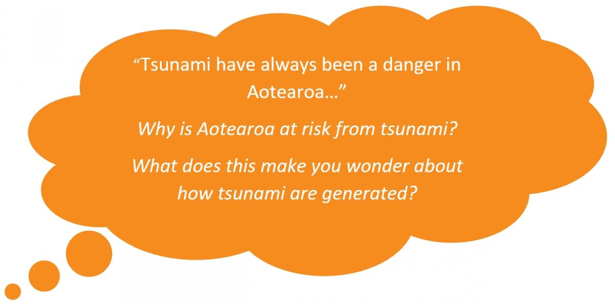
Tsunami have been a danger in Aotearoa New Zealand as long as people have lived here. Archaeological studies have shown that during the mid-15th century, many Māori moved their settlements from low-lying coastal sites to hilltops and inland sites. A number of the abandoned coastal settlements show clear evidence of tsunami inundation or flooding. Tsunami are also recorded in Māori oral tradition.
Aotearoa is vulnerable to tsunami damage because of its long coastline, and because 80% of all tsunami occur in the Pacific Ocean. Tsunami hazard for the Pacific is higher than for other oceans because of the Pacific plate boundary known as the "Ring of Fire". This zone has frequent earthquakes due to movement of the tectonic plates.
Aotearoa has experienced about 10 tsunami higher than 5m since 1840. Some were caused by distant earthquakes, but most by seafloor quakes not far off the coast.

Tsunami can come from local, regional or distant sources. Local tsunami hit within minutes while regional tsunami may take up to three hours to reach our shore. Tsunami from distant sources such as South America, Alaska, and Japan, take more than 12 hours to reach Aotearoa, giving people time to make decisions and evacuate. Local-source tsunami usually affect limited stretches of coastline, while those from distant sources may affect the entire coast.
Three of the larger historical tsunami to reach Aotearoa occurred in 1868, 1877 and 1960. These tsunami had heights of 5 to 10 metres and were the result of major earthquakes off the western coast of South America. The Aleutian Islands and the Alaskan mainland are also potential sources of tsunami.
It is estimated that every century, the country is hit by about a dozen tsunami of more than a metre in height. Since Pākehā settlement, three have been over 10 metres, the first occurring around Wellington in 1855. The only tsunami in recent times to have killed people was in 1868 on the Chatham Islands.
The widespread devastation caused by the Indian Ocean tsunami in December 2004 and east Japan tsunami of March 2011 has led to more awareness of the hazard around New Zealand’s coast.

Aotearoa has frequent, shallow earthquakes and about a third of them occur on undersea faults offshore. From Canterbury to East Cape, and beneath Cook Strait, New Zealand’s continental shelf is fractured by active faults. Movement along these faults caused major tsunami in 1855 and 1947, and smaller ones in 2016. The West Coast is vulnerable to movement along the Alpine Fault and offshore faults.
Many of the world’s largest tsunami are caused by subduction earthquakes, which occur when a section of the ocean floor is forced under the edge of a tectonic plate. A major subduction zone, the Hikurangi Trough, lies off the east coast of the North Island and northern South Island. Sediment deposits on the North and South Island coasts, including one from a large tsunami, indicate at least two subduction earthquakes may have occurred on the Hikurangi plate margin in the last 1000 years.
Landslides can cause tsunami. A landslide into Charles Sound during the 2003 Fiordland earthquake created a wave that flooded forest 4 to 5 metres above high tide and damaged a helipad and wharf.
 Much larger tsunami may have been triggered by huge undersea landslides off the edges of New Zealand’s continental shelf.
Offshore volcanoes, including Tūhua Mayor Island, Whakaari White Island and many undersea volcanoes between New Zealand and Tonga, are a tsunami hazard.
Complete the Tsunami in Aotearoa quiz >
Discover more about tsunami >