You can contact LEARNZ, part of CORE Education, at:
Postal Address:
PO Box 13 678,
Christchurch 8141,
New Zealand
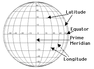
Imaginary lines around planet Earth are called latitude and longitude and help us locate positions on the Earth's surface.
Planet Earth is like a round ball.
To make it easier to describe one location on the surface of the earth, imaginary lines are drawn called latitude and longitude.
Latitude lines go around the earth parallel to the equator.
The RV Tangaroa is sailing to 36°South on this voyage.
Longitude lines all pass through the South and North poles.
The RV Tangaroa is sailing to 177°West on this voyage.
Every point on the Earth can be defined by its latitude and longitude ‘coordinates’. You can use this website to find the coordinates of your location on earth, right now!
The RV Tangaroa is heading to the coordinates 177W36S. You can spot this location on this website's google map.
Who has heard of GPS? GPS Stands for Global Positioning System and is used all over the world.

,Latitude and Longitude. Image source

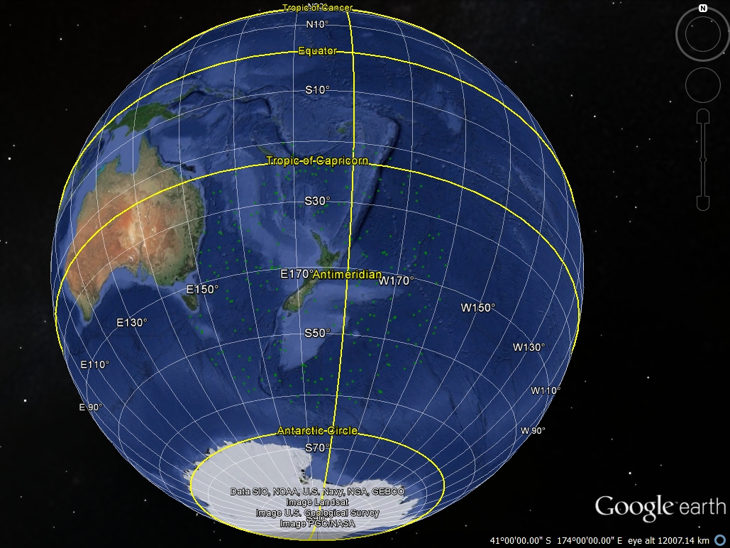
,The application 'Google Earth' allows us to see where objects such as Argo Floats are located, in real-time.

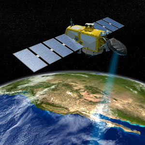
NASA illustration of a JASON satellite. Image source
Next step learning: find out what other common devices use GPS