In the deep, dark world beneath the sea, there are mountains, valleys, plateaus and volcanoes. Anyone who needs to find their way at sea needs to know what lies below the surface of the water.
Hydrography
Hydrography is the science that deals with the measuring and describing of waterways. A hydrographic survey can be done to record underwater features.
A hydrographic survey may be done for:
- nautical charting.
- port and harbour work e.g. dredging.
- coastal development e.g. buildings, roads, bridges.
- looking after the coast.
- finding offshore resource e.g. drilling for oil and gas.
All of these surveys measure water depth. Also of interest is what is the sea-floor made up of (i.e. is it sand, mud or rock?). This is important to know for:
- anchoring
 dredging
- building
- building pipelines and placing cables
- fishing.
Hydrographic surveys are most often used for mapping (nautical charting) to help navigate at sea.
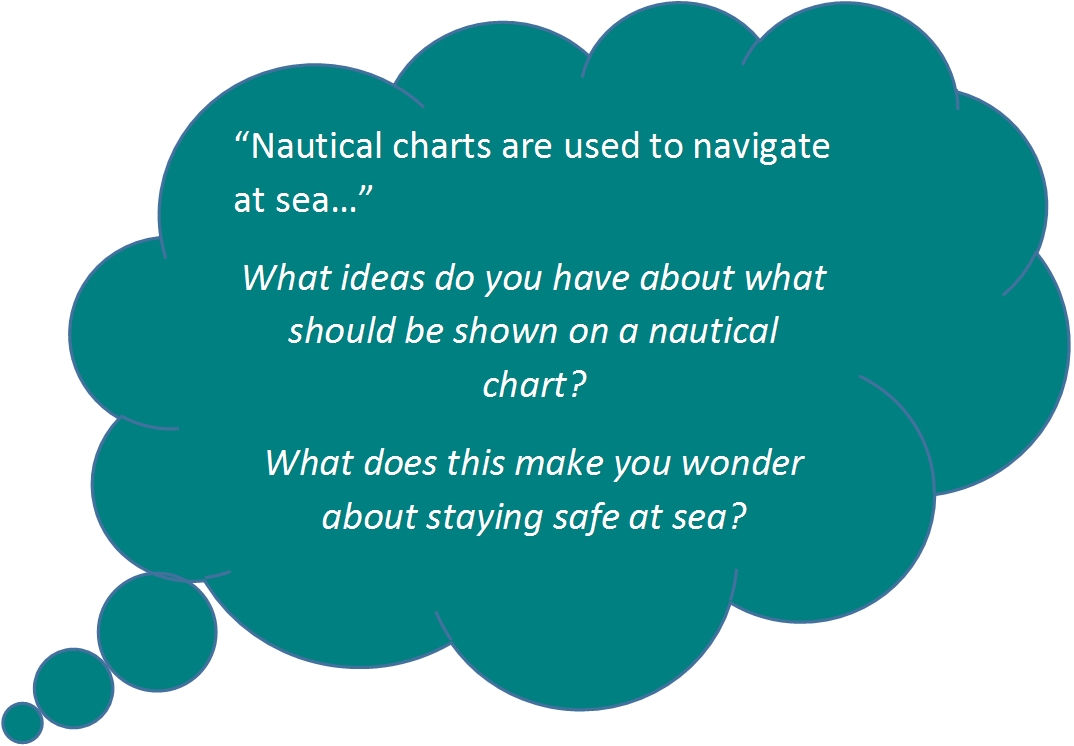
Nautical Charting
A nautical chart is a way of showing features on a map. Depending on the scale of the chart, it may show:
- depths of water and heights of land.
- natural features of the seabed.
- details of the coastline.
- hazards to ships e.g. reefs.
- locations of natural and human-made features e.g. islands, lighthouses.
- information on tides and currents.
- human-made structures such as harbours, buildings, and bridges.
Nautical charting may take the form of charts printed on paper or digital electronic navigational charts. This information helps people to find their way safely at sea.
Technology
Echo-sounding is used for measuring the seabed in the open sea. Echo sounding uses sound pulses to find the depth of water. The time between the sound being made and the echo being received is measured to calculate the depth of the water.
Depths which have been measured are shown as numbers on the nautical chart and are usually shown in metres.
You can see what the seafloor looks like here.


Comments
I wonder if satellites are used to survey the sea