Introduction
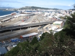
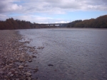
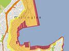
Like many places in New Zealand, Wellington is at risk from a number of natural hazards. During this field trip, you will visit places around Wellington that are hazard-prone and find out about the data people and organisations need to respond to, and recover quickly, from emergencies. You will look at where to go if there is a tsunami and how tsunami maps are made. You will take a closer look at where fault lines are in Wellington and how these are identified, measured and mapped. You will also go to the Hutt River to see evidence of previous floods, look at how floods are measured and see how technology is used to manage flood impacts.
Following the field trip you will be able to relate what you learned about Wellington to your own location. You will see how to use technology to find out where natural hazards exist, the areas they may affect and assess your own risk for earthquakes, tsunami and floods. You will see what apps and maps you could use to be more resilient to natural hazards and recover quickly from possible future events.
Meet Shelley the LEARNZ field trip teacher

Watch the introductory video on Vimeo.
Location
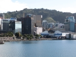
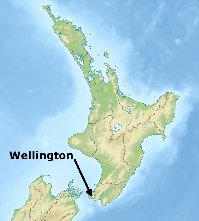
Wellington is the capital city of New Zealand and prone to natural hazards such as earthquakes, tsunami and floods. Wellington needs to be prepared for natural disasters and resilient to their effects to reduce local impacts and impacts on New Zealand's economy.
During your field trip to Wellington you will explore areas that have been identified as being at risk from earthquakes, tsunami or floods and see how location based information is being used to assess and manage these risks.
|
