Captain James Cook’s ship:
- was called the Endeavour
- it had 94 crew
- the ship was 32 metres long and 8 metres wide
- it sailed from Plymouth in England
- and left on 26 August 1768
Cook's mission was to:
- Look for new lands in the Pacific Ocean south of the Equator.
- Observe the transit of Venus from Tahiti
Land Ahoy New Zealand - Young Nick’s Head
After leaving Tahiti, the first sighting of New Zealand was made on 6 October 1769 by 12-year-old Nicholas Young. The headland was named Young Nick's Head and we still call it by that name.
Poverty Bay deaths
Two days later in Poverty Bay Cook's crew shot and killed several Māori. Cook named it Poverty Bay because he was unable to get food or supplies there.
Round the North Island
Cook sailed from Poverty Bay around the North Island. He proved that the North Island really was an island.
Charting New Zealand
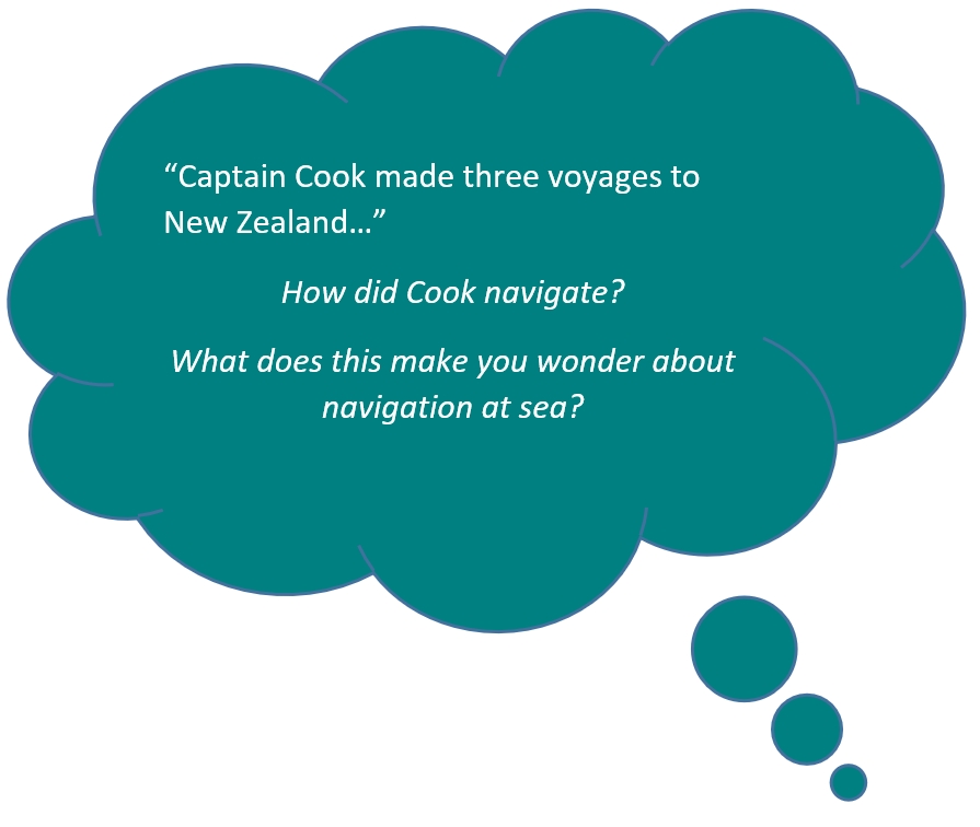
Cook made maps of New Zealand's coastline. He had to make careful measurements of latitude and longitude and sail close to the coast. He used maths and tools like a compass and sextant to plot his position. You can find out more about Cook's navigation here.
Glitches in Cook’s great maps
The Endeavour then sailed south down the east coast of the South Island and round the southern tip of Stewart Island. Then Captain Cook finished his map of New Zealand. It was quite accurate. Cook did make two famous mistakes in his map of New Zealand:
- He drew Banks Peninsula as an island
- He drew Stewart Island as a peninsula.
Three voyages
After Stewart Island, the Endeavour sailed back to England.
On his second voyage (1772–75), Cook used New Zealand as a base and showed there was not a great unknown southern continent near New Zealand.
During his third voyage (1776–79), Cook also visited New Zealand but he was killed in Hawaii during an encounter with the islanders on 14 February 1779.
Ready for a quiz? Try the "Cook's Voyages and Navigation" activity.


