Captain James Cook’s ship the Endeavour was small at just 32 metres long and 7.6 metres wide. It departed from Plymouth on 26 August 1768 with 94 men.
The expedition crossed the Atlantic, rounded Cape Horn and reached Tahiti in time to observe the transit of Venus. After almost four months in Tahiti, from mid-April to mid-August, the Endeavour sailed south into uncharted waters.
On 6 October 1769 a cabin boy sighted land.
Young Nick’s Head
Captain Cook offered a reward of rum to the man who first sighted land and promised to name that part of the coast after him. Nicholas Young was a 12-year-old surgeon’s boy and he was the first to sight land. It is not recorded if Young Nick was given the rum, but the headland which he first saw from the masthead was, and still is, named Young Nicks Head.
Poverty Bay
Two days later Cook landed at Poverty Bay. But misunderstandings and conflict between Cook and Māori led to the crew killing several Māori and damaging the chance of peaceful relations. Cook named the bay Poverty Bay as it provided nothing of what they wanted.
Further exploration
After the encounters with Māori, Cook sailed first south to Cape Turnagain, then north, pausing at Tolaga Bay before rounding East Cape to Mercury Bay. After a week in the Bay of Islands, he rounded the top of the North Island in a storm and sailed down its west coast.
Navigation
It took Cook seven months to chart New Zealand’s 15,000 kilometres of coastline. Cook used a method called a running survey. To do this, he sailed close to shore, taking compass readings of obvious landmarks. Then he would sail a short distance along the coast so that he could take readings of the same landmarks from a different position before plotting them on his chart. Cook then sketched the coastline between the plotted landmarks to complete the outline.
A crucial part of the running survey involved finding latitude and longitude. These gave Cook his exact position, which allowed him to chart the coastline and place New Zealand correctly on a world map.
Cook worked out latitude by measuring the angle between the horizon and the sun when it was at its highest position in the sky.
Longitude was much more difficult to work out because it is based on time. To find their longitude, Cook needed to know the time in both Greenwich and New Zealand. He knew how long the sun took to move across the sky, and this helped him to work out local (New Zealand) time. But there weren’t any clocks that kept Greenwich time accurately enough. Instead, Cook had to work out the time in Greenwich by making a long series of calculations, using his own observations and the lunar tables in a nautical almanac.
You can find out more about Cook's navigation here.
Charting the North Island
On 15 January 1770 Cook brought the Endeavour to anchor at Ship Cove in Queen Charlotte Sound at the top of the South Island. From a high point on Arapawa Island he gained his first view of the narrow strait that is now named after him. Sailing through Cook Strait, he returned to Cape Turnagain, confirming that the North Island was indeed an island.
He then sailed south down the east coast of the South Island and round the southern tip of Stewart Island.
Cook’s maps
Viewing the new land sometimes from well out to sea, he made two famous mistakes, charting Banks Peninsula as an island and Stewart Island as a peninsula.
He did not land again until he reached Admiralty Bay, D’Urville Island, on 27 March 1770 for wood and water.
On 1 April 1770 Cook sailed west to discover and chart the eastern coast of Australia. He reached Jakarta on 11 October and returned to England, having circumnavigated the globe, on 13 July 1771.
The second voyage
Cook wanted to confirm that there was no Terra Australis Incognita or large "unknown southern land", so he completed two more voyages in the Pacific. There still remained unexplored ocean to the east of New Zealand, where a great continent could lie.
On his second voyage (1772–75) Cook used New Zealand as a base to explore south and east, which finally proved there was no such continent. The Resolution, commanded by Cook, and the Adventure, commanded by Tobias Furneaux, sailed from England on 13 July 1772. Both ships spent time in New Zealand waters between trips into the unexplored parts of the Pacific.
During one of these trips Cook charted much of Dusky Sound in Fiordland, where he spent six weeks in the autumn of 1773.
The third voyage 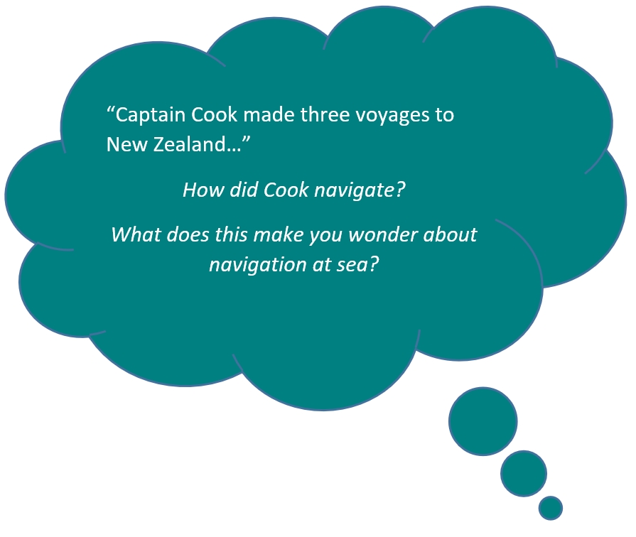
During his third voyage (1776–79), Cook also visited New Zealand. He stayed from 12 to 25 February 1777 at Ship Cove in Queen Charlotte Sound, before sailing into the north Pacific.
Captain Cook was killed in Hawaii during an encounter with the islanders on 14 February 1779.
Ready for a quiz? Try the "Cook's Voyages and Navigation" activity.


