


You can contact LEARNZ, part of CORE Education, at:
Postal Address:
PO Box 13 678,
Christchurch 8141,
New Zealand

An awa/river is freshwater flowing downhill across the surface of the land.
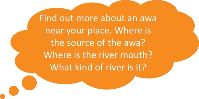
The source of an awa, also called the headwaters, is the place where it starts. This is usually in higher areas like hills or mountains.
Some awa begin where a natural spring releases water from underground. Lakes, glaciers, and wetlands can also be river sources.
Rivers often get their water from many tributaries (a stream that feeds, or flows, into a larger stream), or smaller streams, that join together in the catchment. A catchment is a basin-shaped area of land where water collects and moves through. It takes many tributary streams to form a river. The tributary that started the furthest from the river's end would be considered the source, or headwaters.
Awa flow in channels. The bottom of the channel is called the bed and the sides of the channel are called the banks. Most awa empty into a larger body of water, like an ocean, harbour, or lake. The end of the awa is called the mouth.

For a small country, Aotearoa has many awa. This is because of our regular rainfall and many mountains. The South Island/Te Waipounamu has 40 major river catchments, and the North Island/Te Ika a Māui has 30. The total length of the country’s rivers is over 180,000 kilometres, not including thousands of small streams and tributaries.

Most New Zealand rivers flow through wild areas such as bush or hill country, and through farmland. Some also pass through towns and cities. Many rivers change in nature as they flow from the mountains to the sea.
Different landscapes create different types of rivers. For example:

Mountains and weather affect the formation of awa. There are many mountains and hills in Aotearoa. These high areas can be windy and have high rainfall.
Some moisture falls as snow in the mountains because the higher you go the colder it gets. A lot of the water from rain and snow seeps into the ground. This water is slowly released back to the surface as it flows downhill and into streams and awa.
Aotearoa’s mild temperatures means less precipitation is evaporated, so awa remain high for most of the year. Unlike many countries, which lose 70% of their precipitation through evaporation, Aotearoa loses on average just 30%.
River levels change during the year. Most have lower average flows during dry summers. In the Te Waipounamu/the South Island snow melt affects awa. Snow-fed awa have the lowest flows during winter and spring before the snow melts.

Rivers can be shaped by:
The headwaters of most of the major awa in Te Waipounamu/the South Island were once glaciers. During ice ages, glaciers moved down the mountains, carving out river valleys, and carrying down glacial gravels (called outwash). The Canterbury Plains were formed from outwash gravels, which also created the wide beds of braided awa such as the Rakaia.
Earthquakes and volcanic activity can affect the course of awa. Wherever faulting occurs and there is enough water flow, awa will follow faults. Earthquakes can cause landslides which can dam rivers or change their course.

Awa are affected by rock type. Soft rocks like mud and sandstone are easily worn away so awa can form deep, wide channels. Harder rocks like schist lead to steeper, faster flowing awa with large boulders and rapids.

Try the Awa in Aotearoa quiz.
Read more about awa in Aotearoa on Te Ara: TheEncyclopedia of New Zealand.