Imaginary lines
Latitude and longitude are imaginary lines that run around the earth. They help to show where we are.
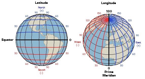
Latitude: These are the lines that run across the globe. The latitude that runs through the middle of the Earth is given the number zero degrees (0°) and is called the equator. The latitude line at the north and south poles is given the number 90°.
Longitude: These vertical (up and down) lines around the Earth meet at the poles and are widest apart at the equator.
Every point on the Earth has its own latitude and longitude ‘coordinates’.
What is geospatial data?
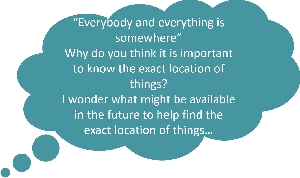
Everybody and everything is somewhere. The ‘where’ is a location on the ground. A map shows where things on the ground are. Every day we use and collect information about where things are; this is called location-based information or geospatial data.
- geo = earth
- spatial = space (the space around us)
- data = a group of facts such as numbers, words, measurements, or records of what we see.