Who has heard of GPS?
GPS Stands for Global Positioning System. GPS are now used all over the world. A GPS unit is a receiver that picks up signals from satellites.
Global Positioning System satellites send (transmit) signals to GPS receivers on the ground. Receivers need a clear view of the sky, so they are only used outdoors and do not work well in forests or near tall buildings.
The satellites transmit the exact time the signals are sent. By taking the time the signal was transmitted from the time it was received, the GPS can tell how far it is from each satellite. The GPS receiver also knows the exact position in the sky of the satellites, at the moment they sent their signals.
Watch this Youtube video to find out more about how GPS works.
Uses of GPS
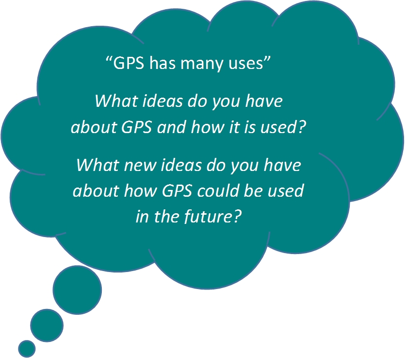
GPS has many uses, for example;
- Setting time - auto updating cell phone times when daylight saving begins and ends
- Emergency services need GPS to find places
- Tracking a vehicle, aircraft, person or a pet which has been chipped
- Bus stops: to show how long the bus will take to arrive at a bus stop
- Navigation
- Personal Locator Beacons (PLBs): used to tell search and rescue experts where someone is
- Recreation: eg tramping, climbing, diving, sailing
- Surveying: Surveyors use GPS locations to make maps and work out property boundaries
- Tectonics: using GPS the movement of faults during earthquakes can be measured.
Can you think of any other uses for GPS?


Comments
I wonder if GPS could track very small things like golf balls