Understanding and monitoring seismic activity
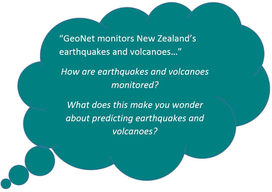
GNS Science looks after the GeoNet project and is monitoring our earthquakes, large and small, and our active fault lines to understand past events, and prepare for the future.
To better understand earthquakes scientists work on;
- finding faults and measuring movement
- finding out where earthquakes begin
- finding out how often earthquakes happen on certain faults
- looking after a New Zealand network of seismographs
- looking at how buildings cope with earthquakes
- use GPS equipment to pinpoint where stress is building up or being released in the Earth’s crust
- model earthquake effects on communities
- develop designs to improve the safety and strength of buildings and services
Monitoring active volcanoes
There are 12 active volcanic areas in New Zealand. Although the chance of an eruption affecting a large area is low in any one year, New Zealand needs to be prepared for different kinds of volcanic eruptions.
The GeoNet project monitors active volcanoes to find the early signs of volcanic activity.
Tsunami detection and modelling
To better understand tsunami and the risk for New Zealand, scientists work on;
- finding tsunami sources and modelling waves
- studying offshore faults and earthquakes that may cause local tsunami
- finding tsunami that have happened in the past and looking at their impact
- working with scientists from other countries to share information and research
- monitoring earthquakes that could cause tsunami
- tide gauges are used to record the arrival and height of tsunami waves
- modelling local tsunami produced by earthquakes, undersea landslides and volcanoes
- teaching the public so people know what to do if there is a tsunami
Monitoring and modelling landslides
Unstable land, heavy rainfall, earthquakes and people changing the land can lead to landslides. Studying the strength of the ground, landslide events and triggers, and locating faults can help us to understand landslides better.


