You can contact LEARNZ, part of CORE Education, at:
Postal Address:
PO Box 13 678,
Christchurch 8141,
New Zealand
The 2010 Canterbury earthquake was felt over much of the South Island and caused significant damage in Canterbury. An aftershock in February 2011 caused much more severe damage and killed 185 people.
In the early hours of Saturday morning on 4 September 2010, people in Christchurch and the surrounding Canterbury region were jolted awake by a magnitude 7.1 earthquake. It was the most damaging earthquake in New Zealand since the magnitude 7.8 Hawke's Bay (Napier) earthquake in 1931.
At the time people believed that aftershocks would decrease in size and frequency as time passed. But the September earthquake triggered many aftershocks at either end of the Greendale fault and also triggered the nearby Port Hills fault.
On 22 February 2011 at 12.51pm a 6.3 magnitude quake shook Christchurch. This quake was centred only 10 kilometres from the centre of the city at a shallow depth of only 5 kilometres. The magnitude of this event was less than the September quake but caused much more damage.
The Napier earthquake killed 256 people and 593 people were seriously injured. Only two people were seriously injured during the September Canterbury earthquake. Luck played a part, as the quake occurred at a time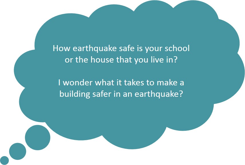 when most people were home in bed and the streets were almost empty. The lack of injuries was also due to New Zealand's strict building codes.
It is not possible to make every building earthquake proof. Buildings are designed to stay up in strong earthquakes to allow people to escape but they may have to be demolished later due to damage.
The 2010 Haiti earthquake was of a similar strength, close to the city and also occurred at a shallow depth. The Haiti earthquake killed tens of thousands of people because most buildings collapsed.
Unfortunately in February, the much more damaging 6.3 magnitude aftershock occurred at lunchtime. This busy time meant that many more people were in the centre of town. The shaking caused by this earthquake was also much more intense, causing some buildings to collapse. Tragically 185 people were killed and thousands more injured.
The epicentre of the September 2010 earthquake was 40 kilometres west of Christchurch, near the town of Darfield. The earthquake was only 10 kilometres deep.
The earthquake lasted about 40 seconds and was felt widely across the South Island and as far north as New Plymouth in the North Island.
Because the epicentre of the earthquake was inland, away from the coast, there was no tsunami.
The 6.3 magnitude aftershock in February 2011 was smaller in magnitude than the main shock but far more damaging. This is because it was centred near Lyttelton, only 10 kilometres from Christchurch city and only five kilometres deep. This earthquake was not felt as much outside of Christchurch.
Earthquakes have occurred in Christchurch before. Between 1850 and 1930 there were four significant earthquakes. About 100 faults are known in the region and some are as close as 20 kilometres from central Christchurch. The 2010 and 2011 earthquakes occurred on previously unknown faults.

,Many roads in the centre of Christchurch and out in the eastern suburbs were damaged by liquefaction as water was pushed to the surface during the earthquake. Image: LEARNZ.

,The February 2011 earthquake caused huge rock slides in the Port Hills of Christchurch. Image: LEARNZ.

,Many old churches were damaged beyond repair in the February 2011 Christchurch earthquake. Image: LEARNZ.

Roads and infrastucture were badly damaged during the February quake, especially in the centre of Christchurch and out in the eastern suburbs. Image: LEARNZ.
Why do you think the February 2011 earthquake caused so much damage in Christchurch?